Gunnison KOA Journey, Gunnison CO
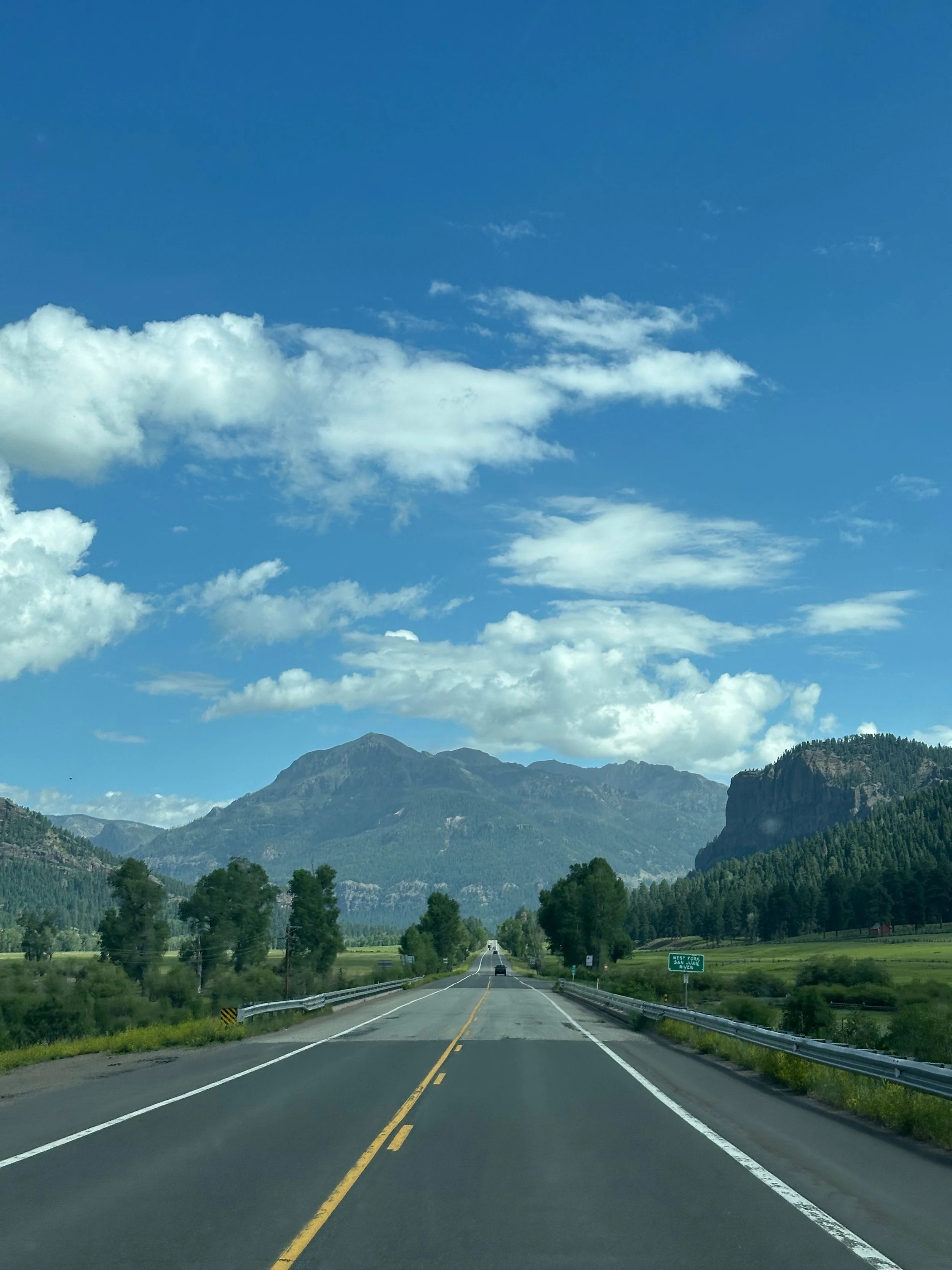
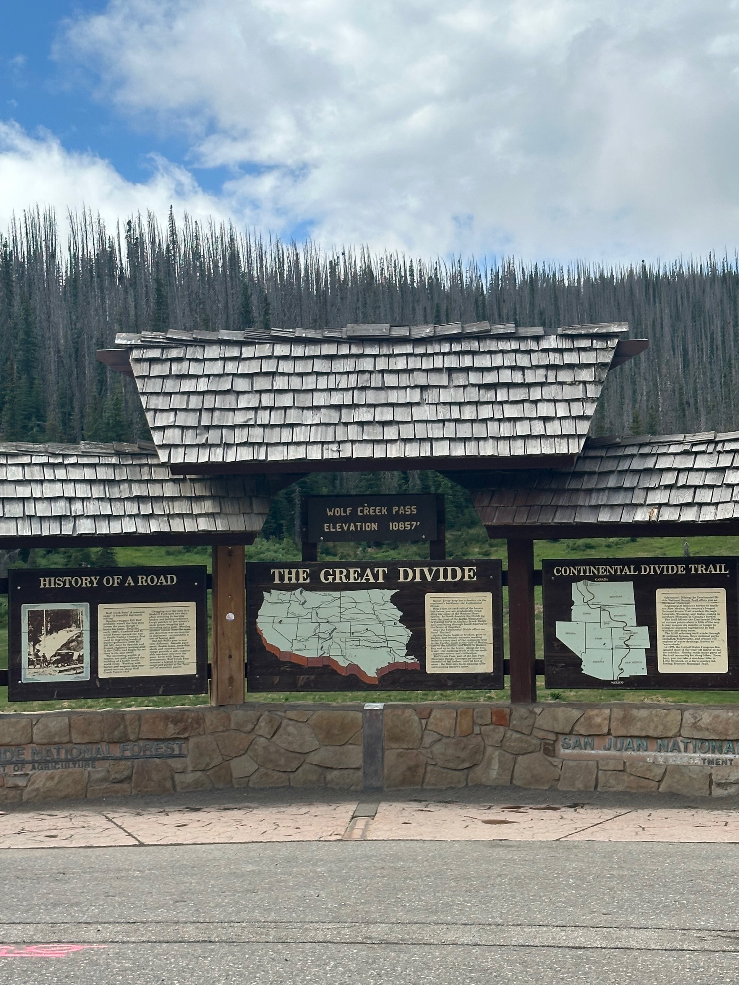
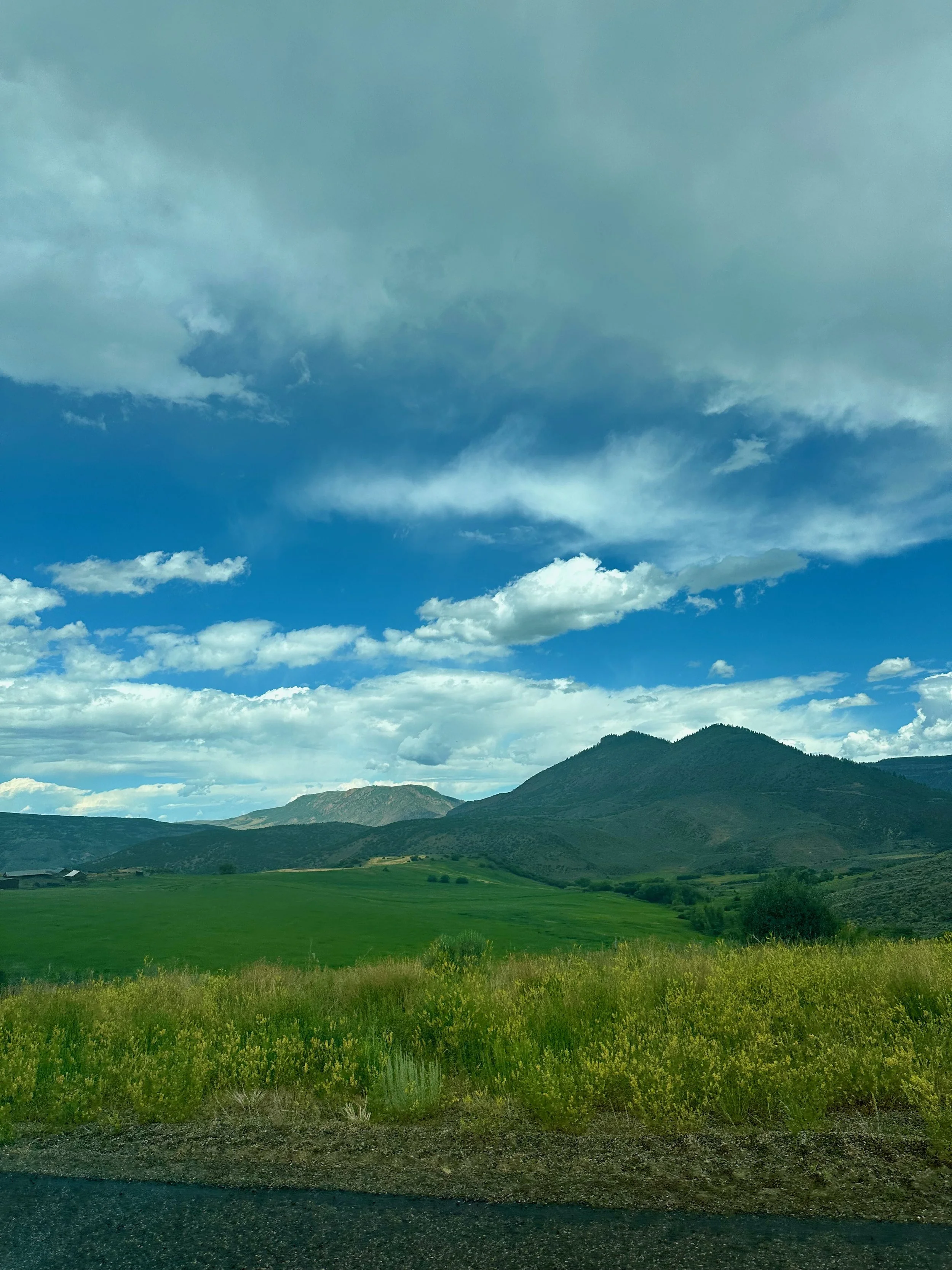
The road from Pagosa Springs to Gunnison took us through Wolf Creek Pass and the Continental Divide. To start, there's a steady upgrade for about 8 miles, with some easy switchbacks. Our anticipation was worse than the actual. We passed by Wolf Creek Ski Area and then descended into a valley. A few more turns and some miles later, we were heading through downtown Gunnison. The campground was on the west end of town, right by the airport. Tom loved that location!
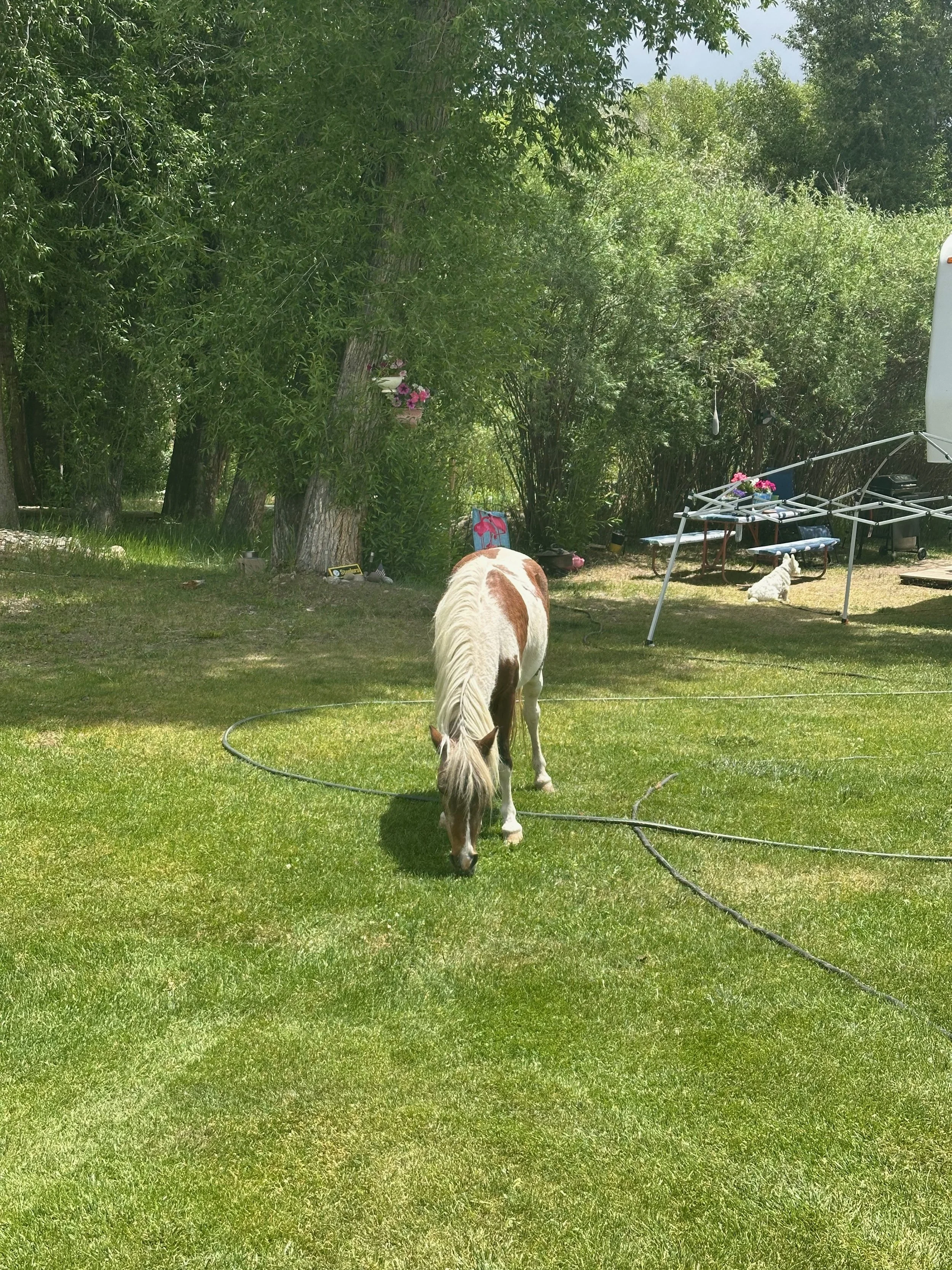
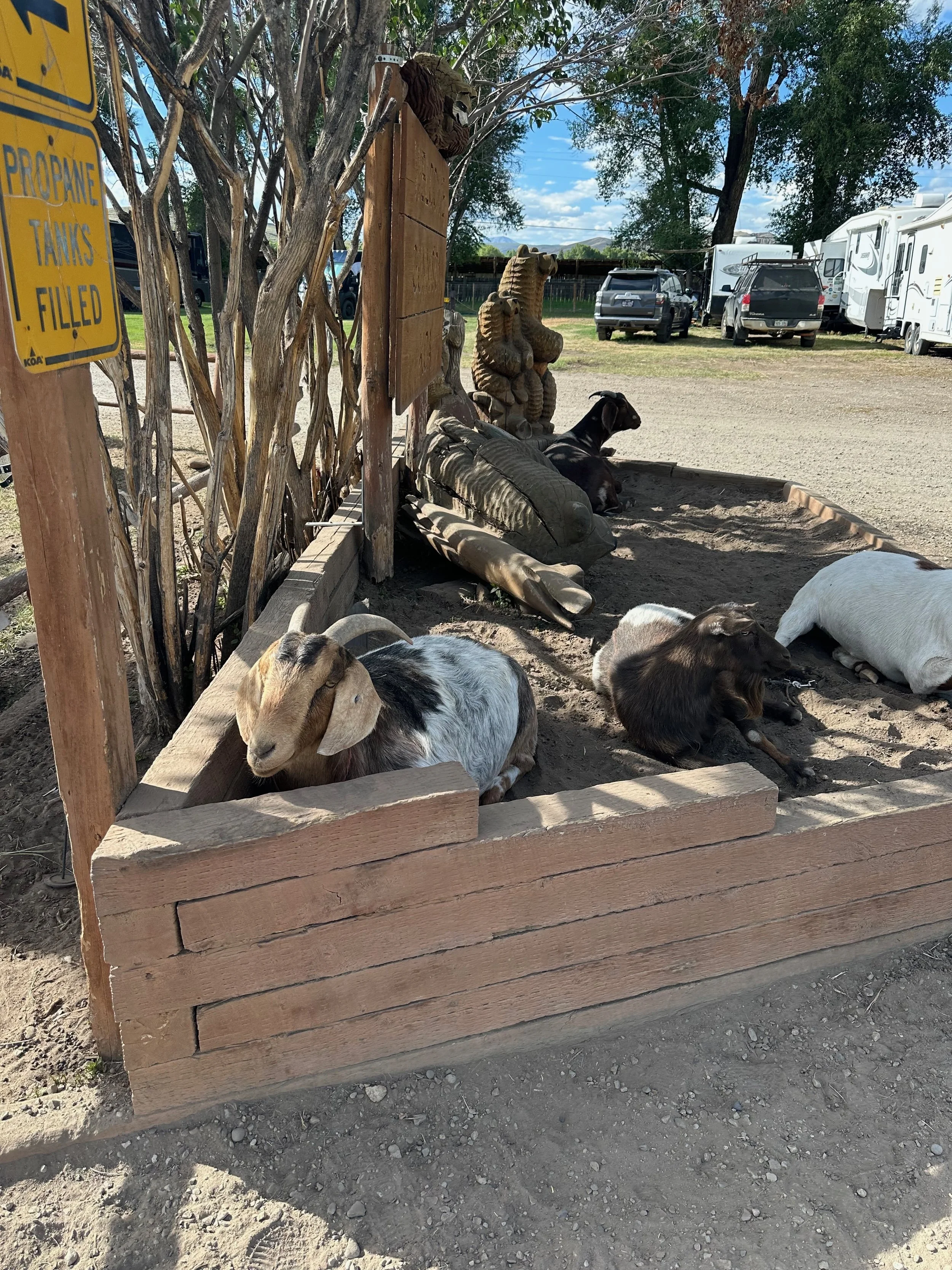
Just as we entered the campground, I noticed the animals. A couple of goats greeted us at the entrance, and we saw a corral with two ponies.
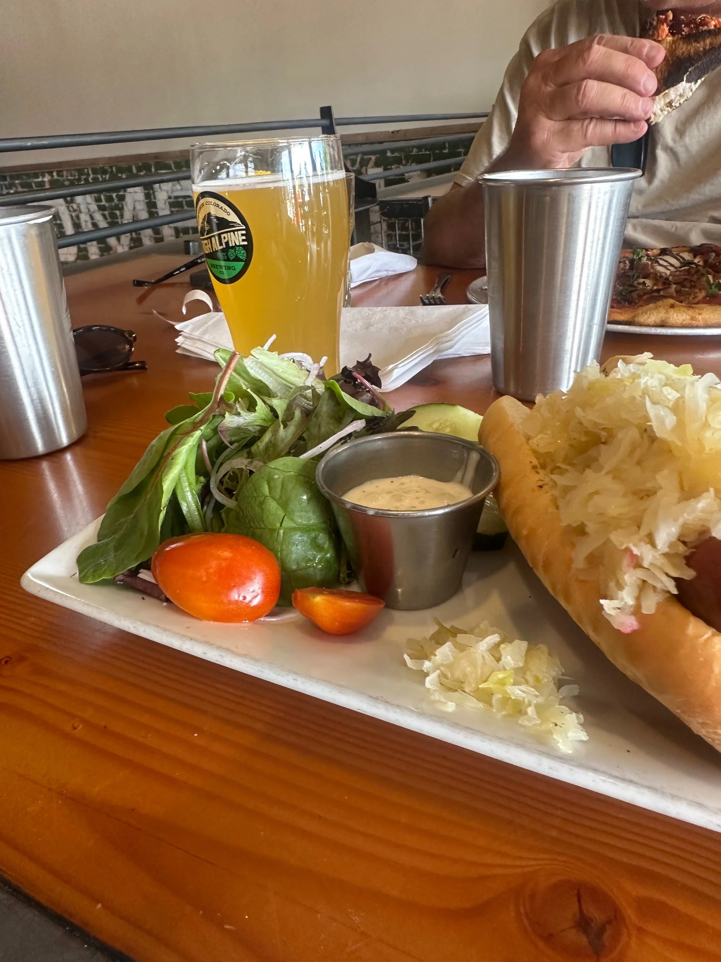
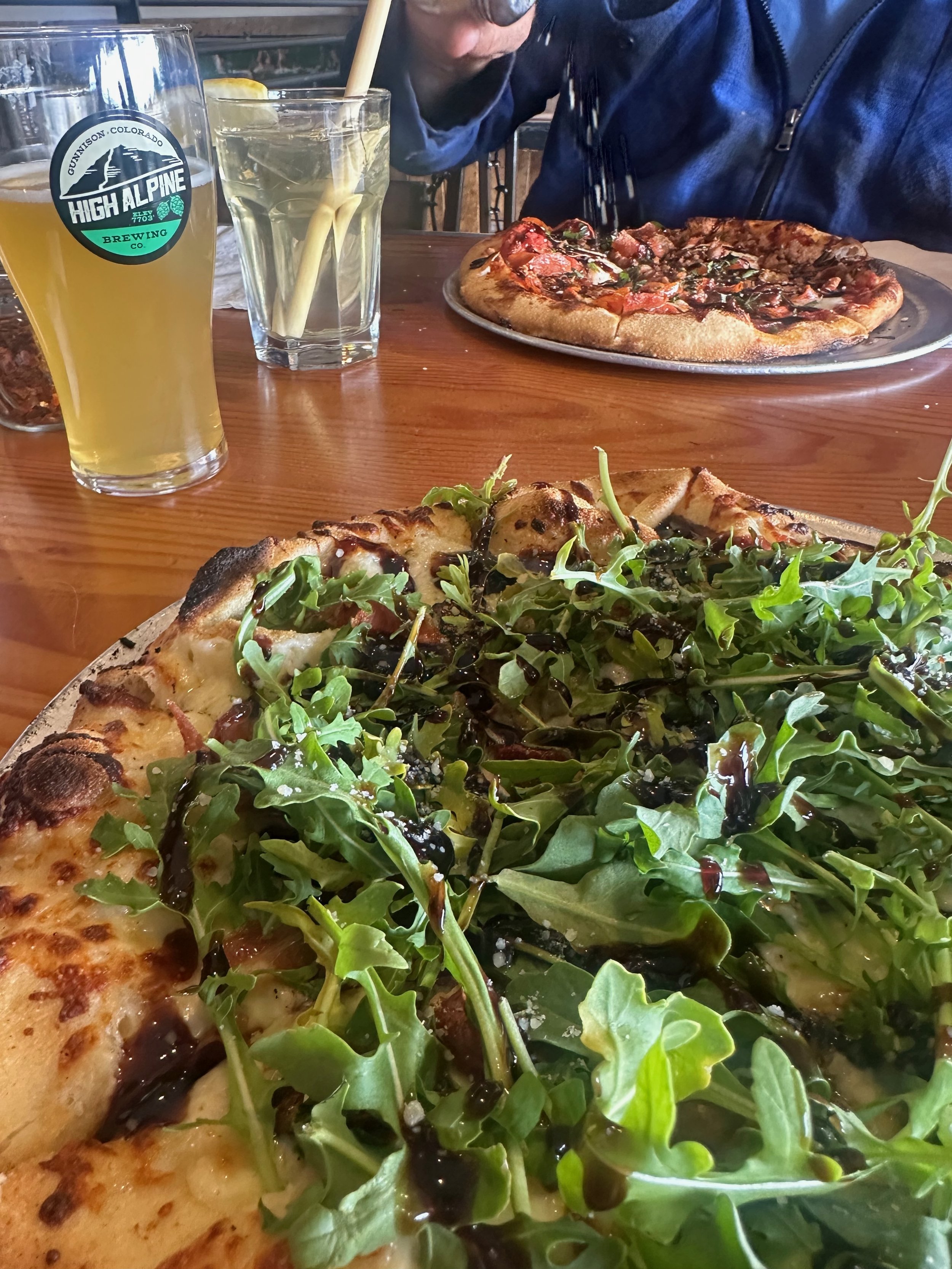
The site was huge and grassy, a nice change from Durango and even Pagosa Springs. We settled in and went out to explore the town and have lunch. I spotted a likely place on our way in, so we ended up going to High Alpine Brewing Company. The seating upstairs gave us a nice view of the town. The beer was nice, and the food was tasty, so we returned a few more times. I loved their hazy IPA Radiant Realm and their pizzas.
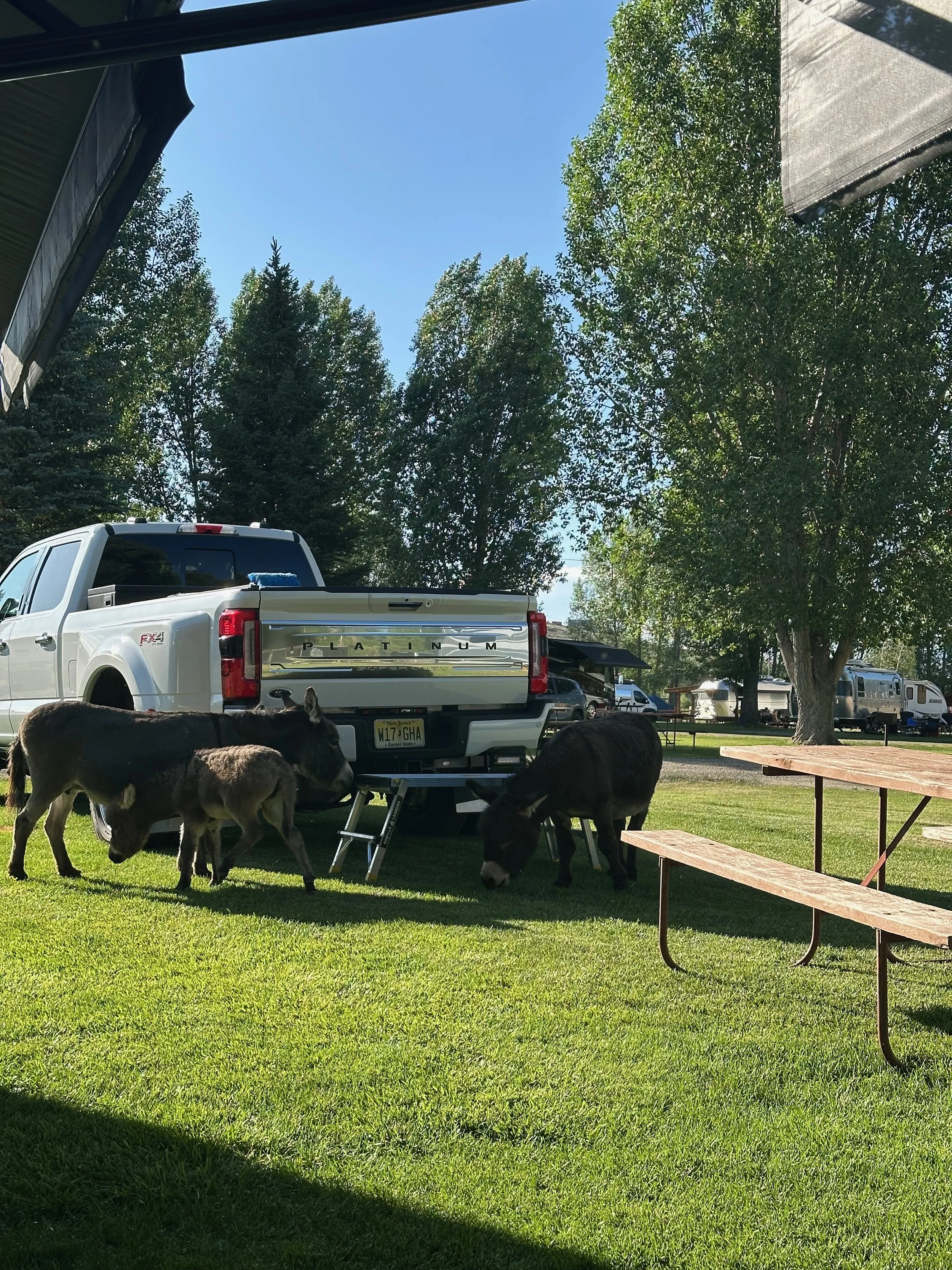
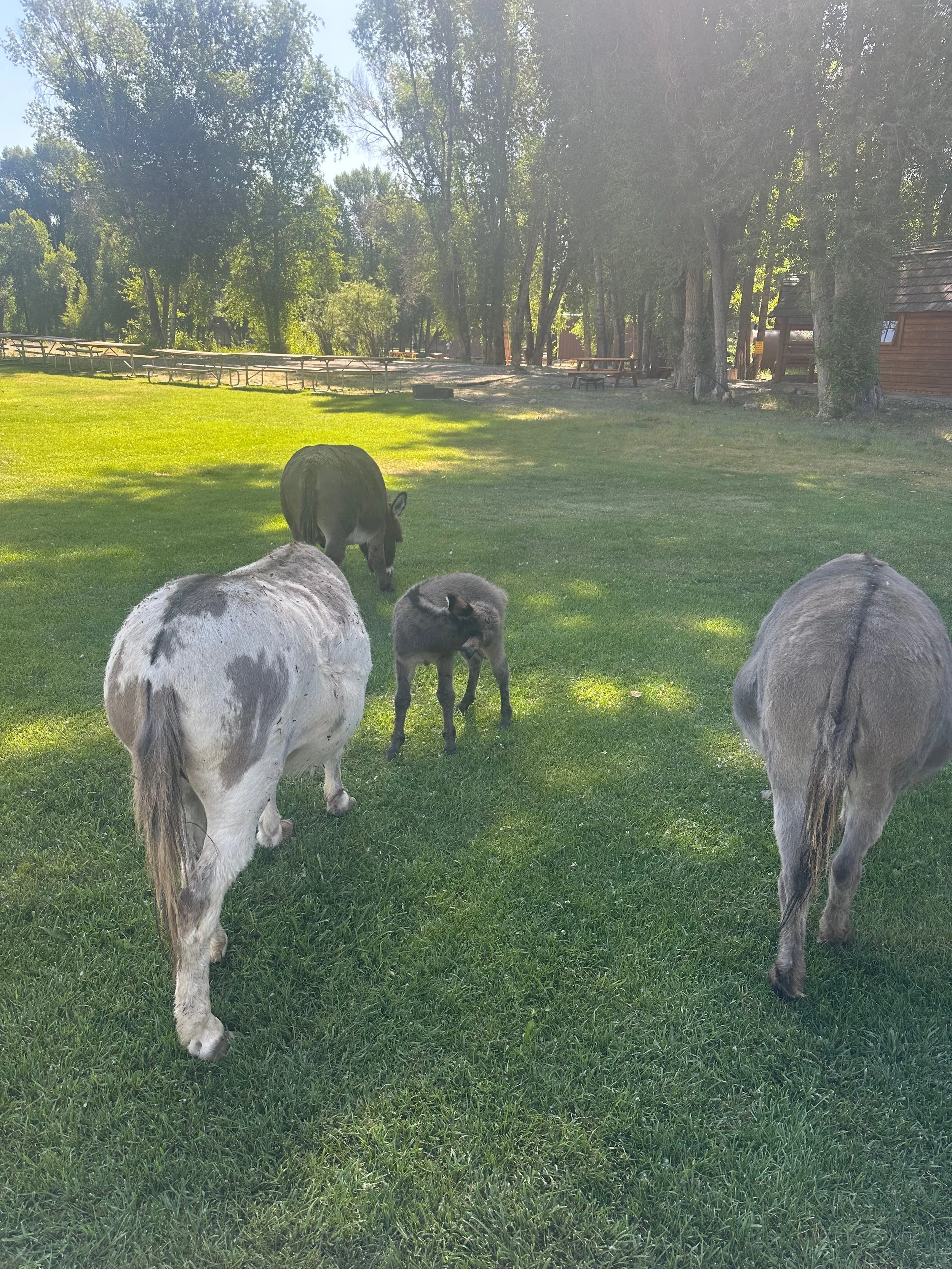
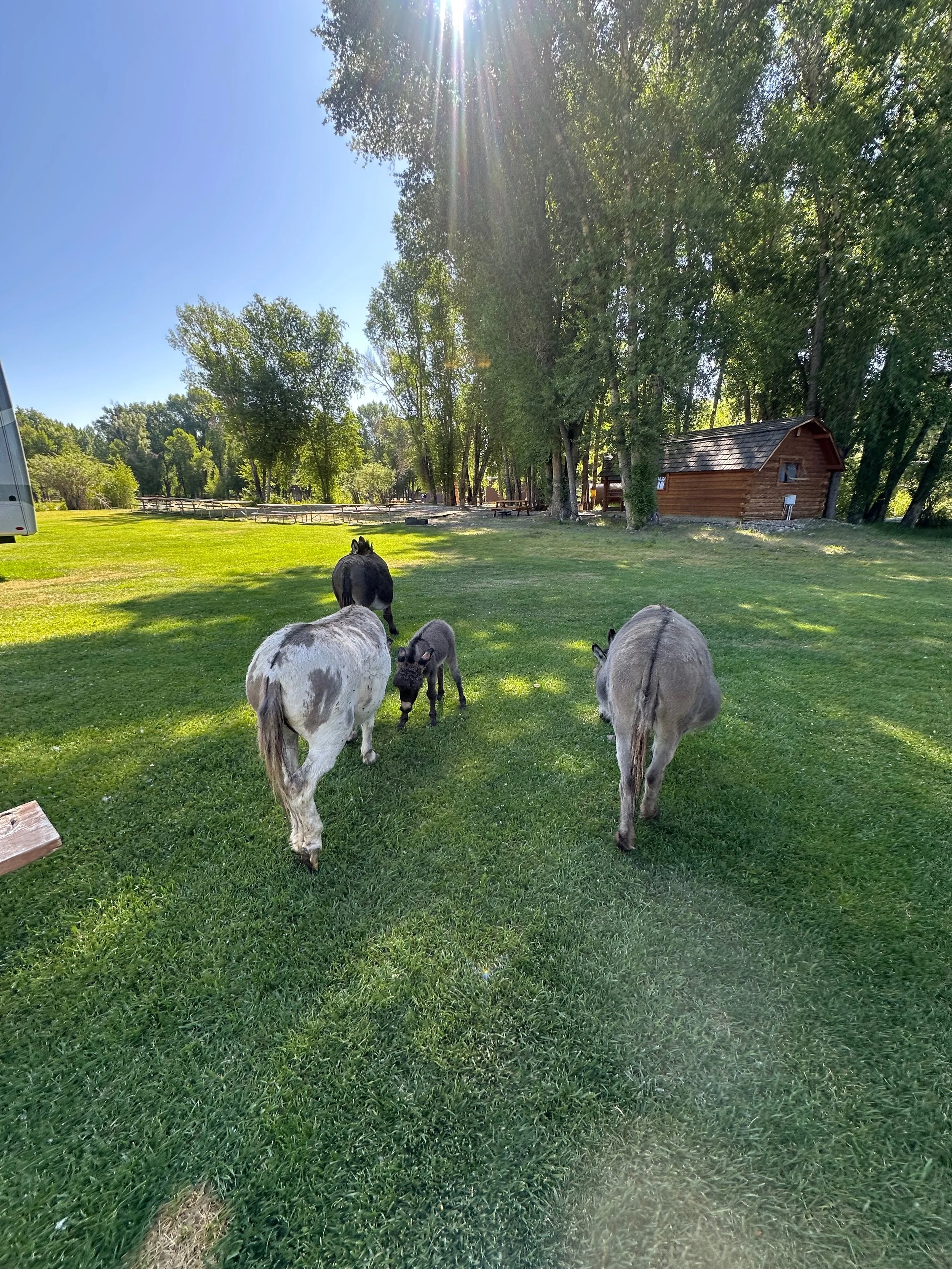
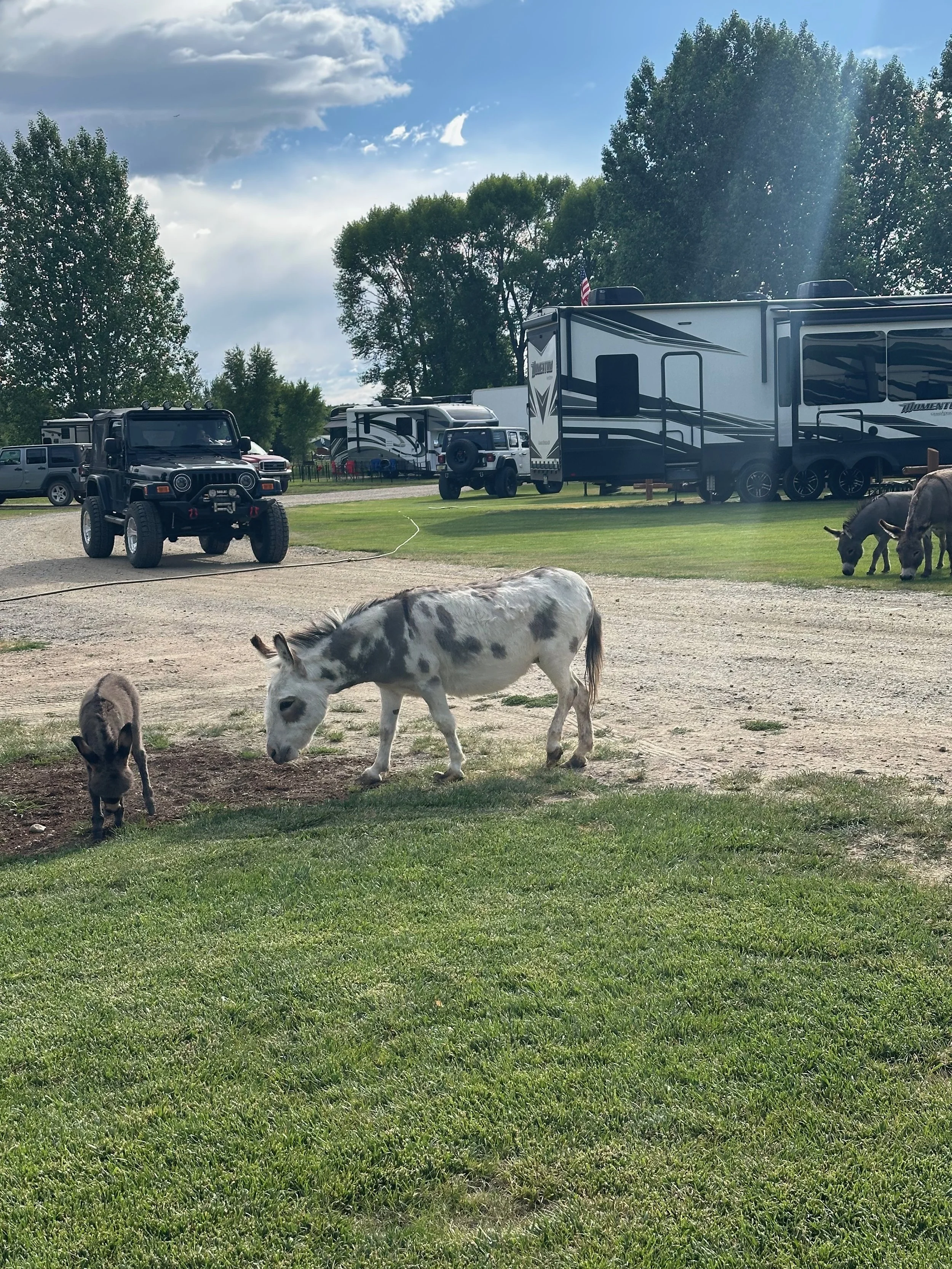
When we returned to the camper, we were visited by some neighbors - apparently, the campground has a group of retired donkeys. They are very friendly and used to people feeding and petting them. The young one had zoomies just like any pup or kitten; it was so cute!

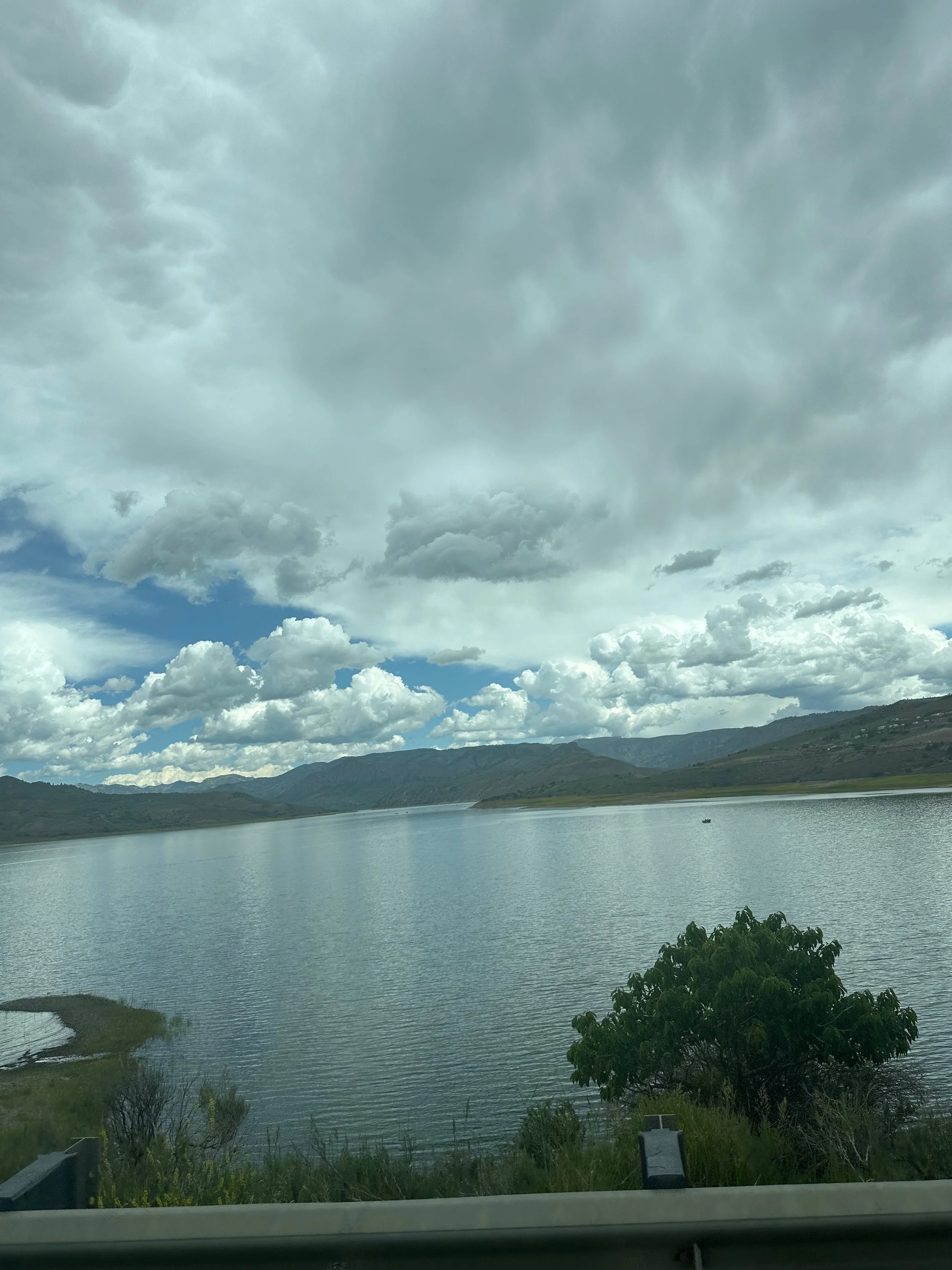
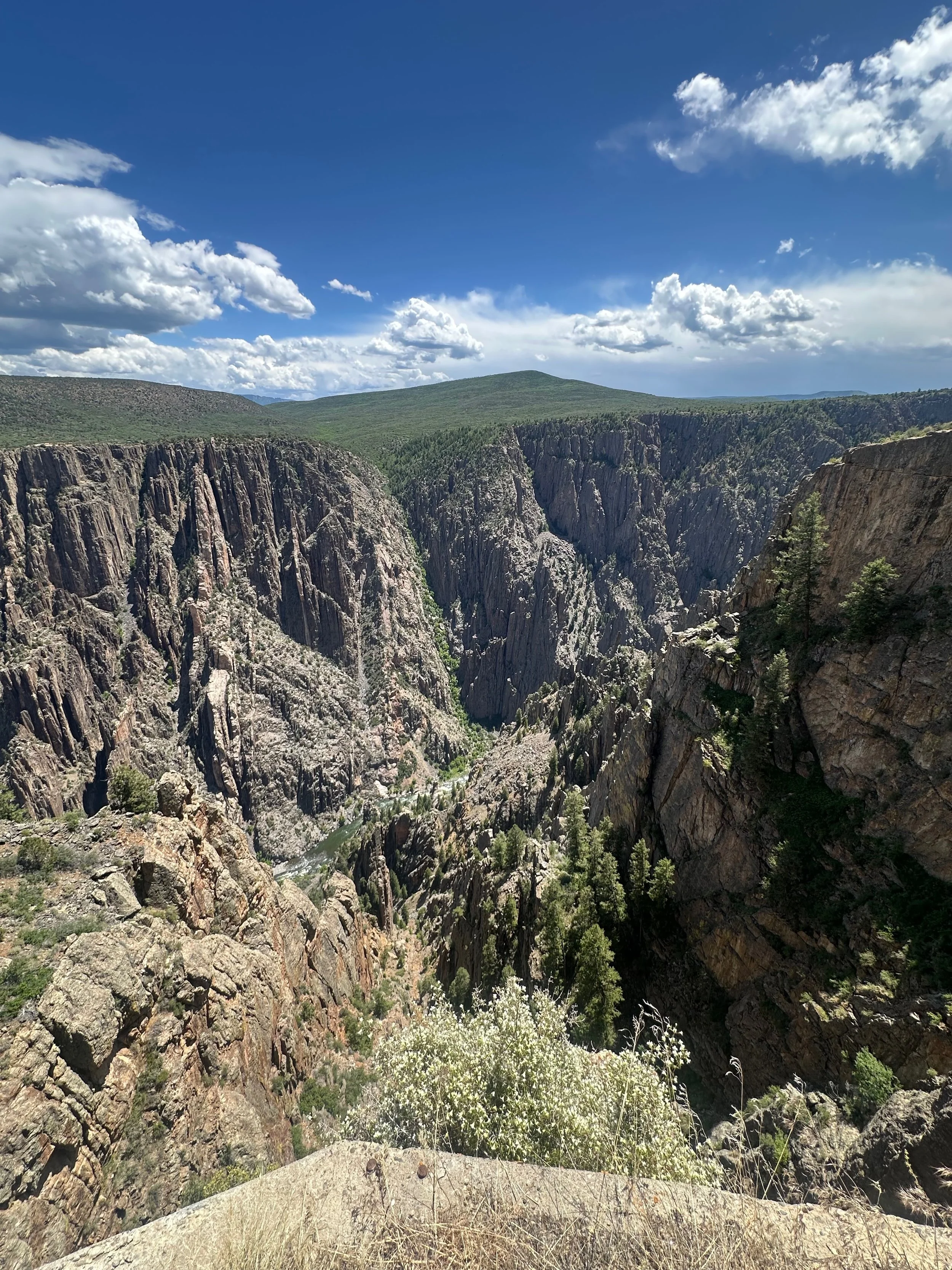
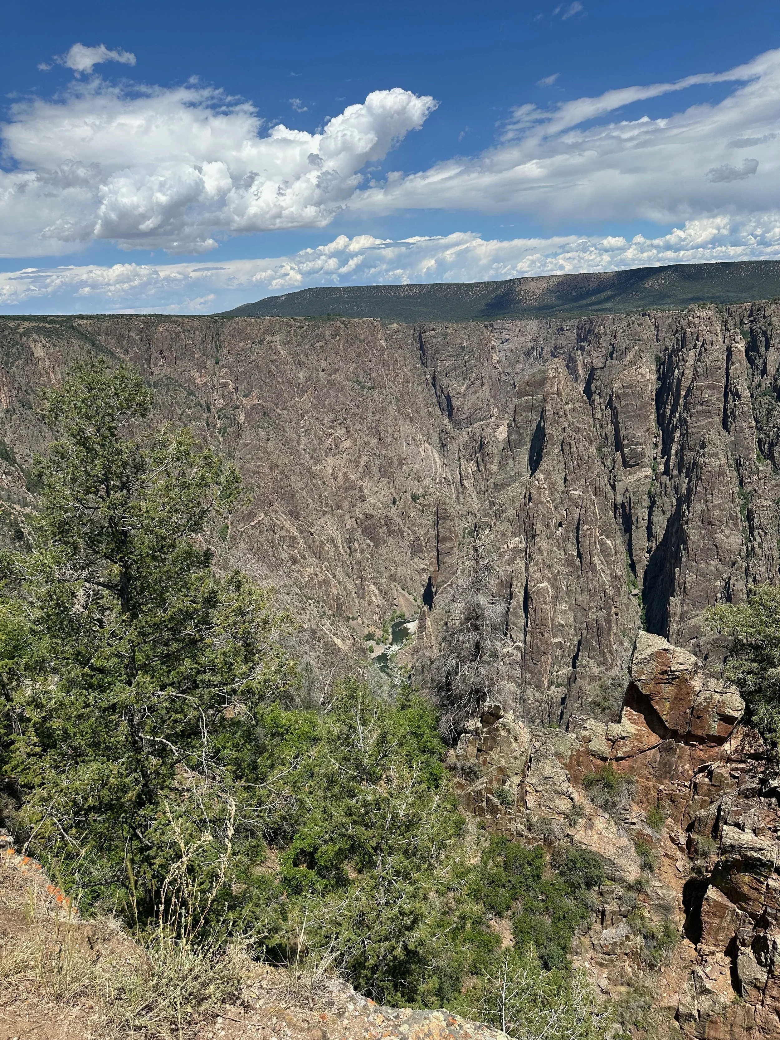
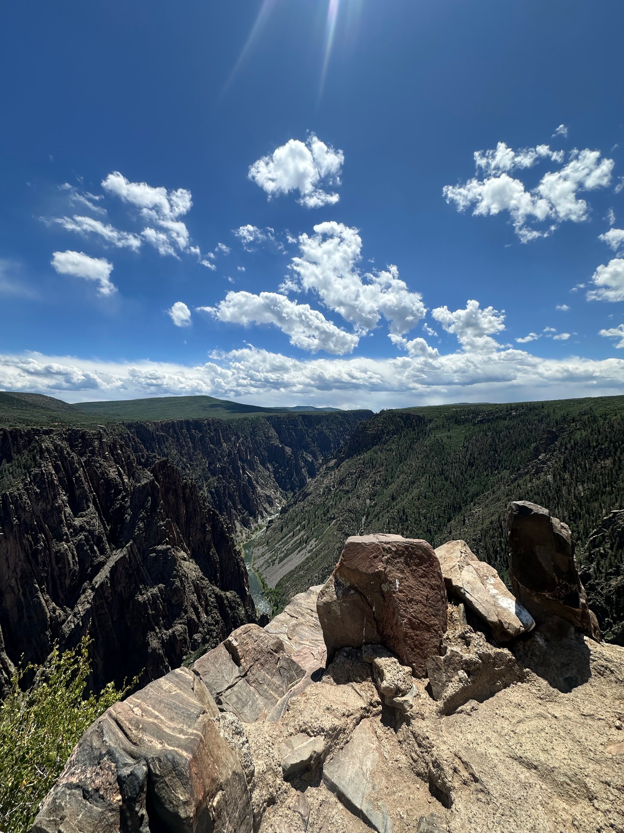
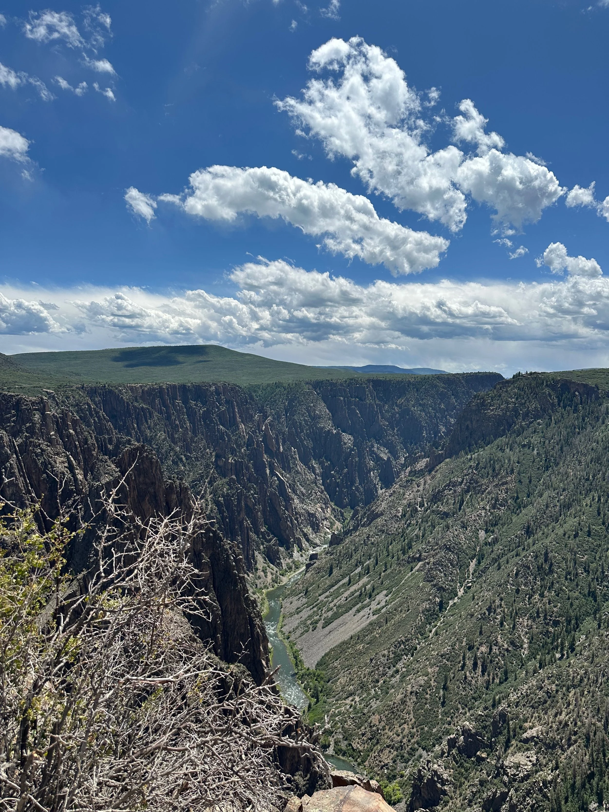
We drove to the Black Canyon of Gunnison National Park . It is about an hour's drive from Gunnison through Blue Mesa Reservoir in Curecanti National Recreation Area. We crossed the bridge, which was opened in early 2025. We missed visiting Gunnison in 2024 due to this bridge’s closure.
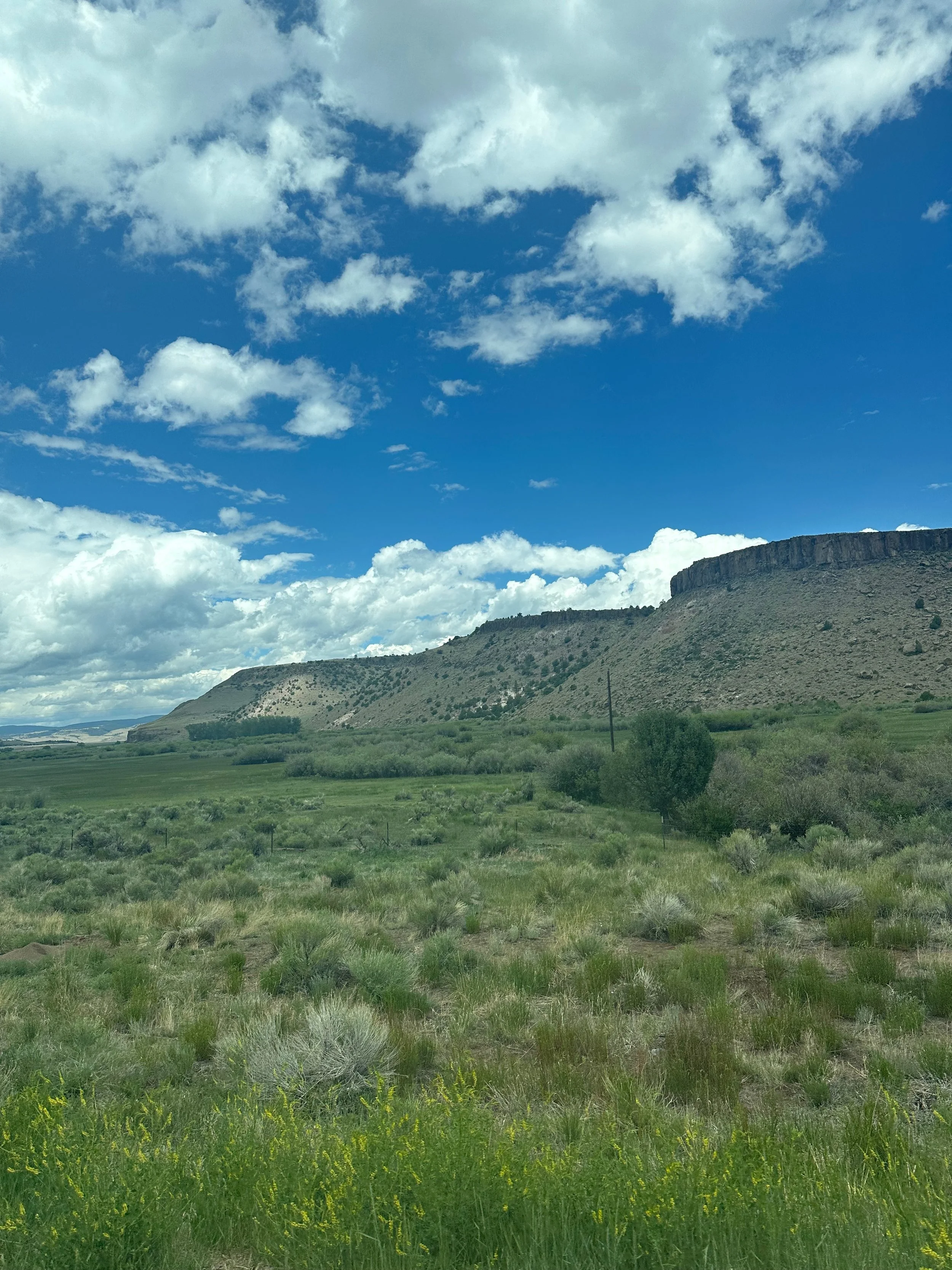
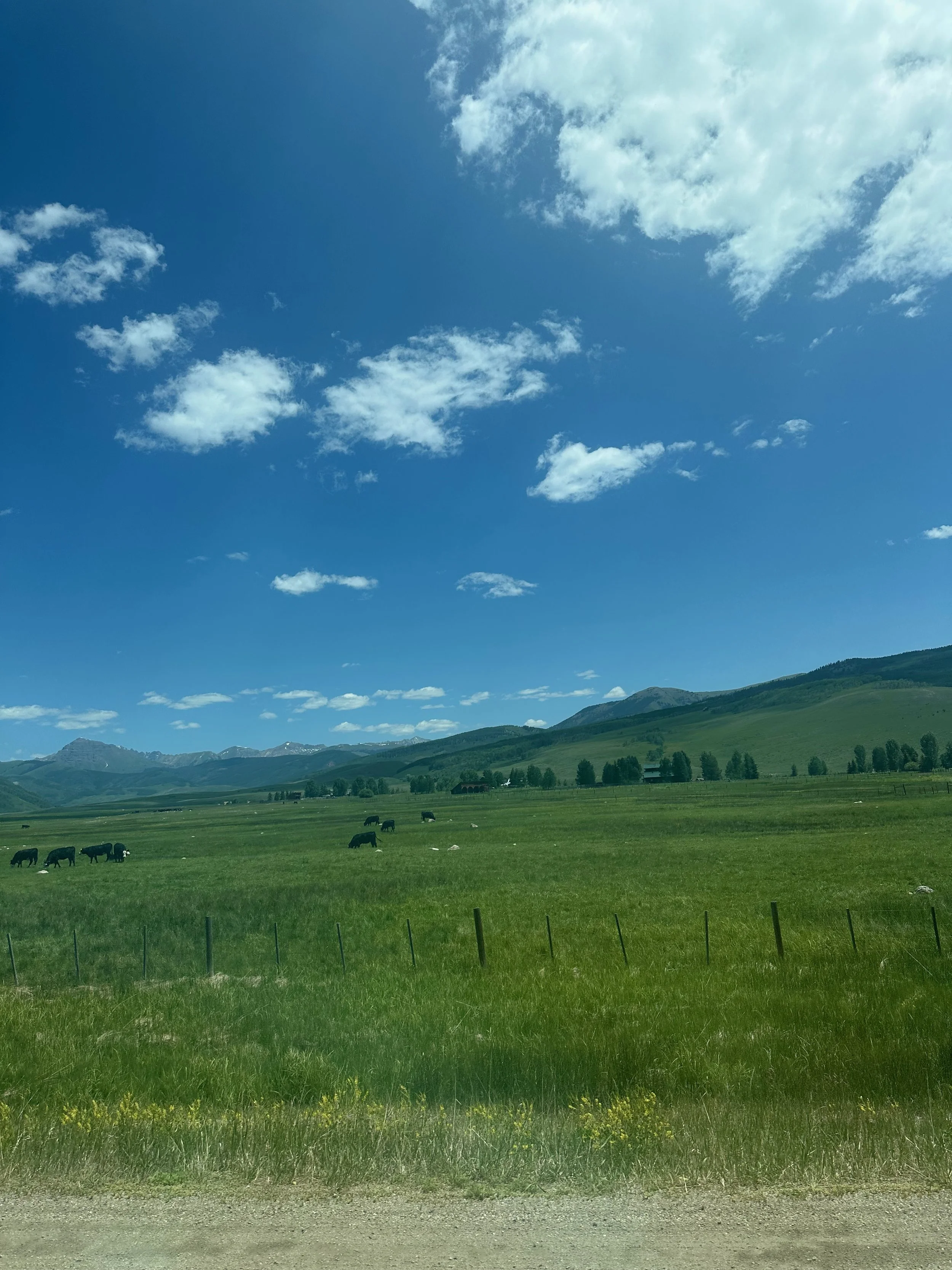
The scenery going through Blue Mesa and the west end of the reservoir was beautiful. Valleys with cattle and wildflowers, the narrow winding canyon of Gunnison River, aspens and pines, just gorgeous.
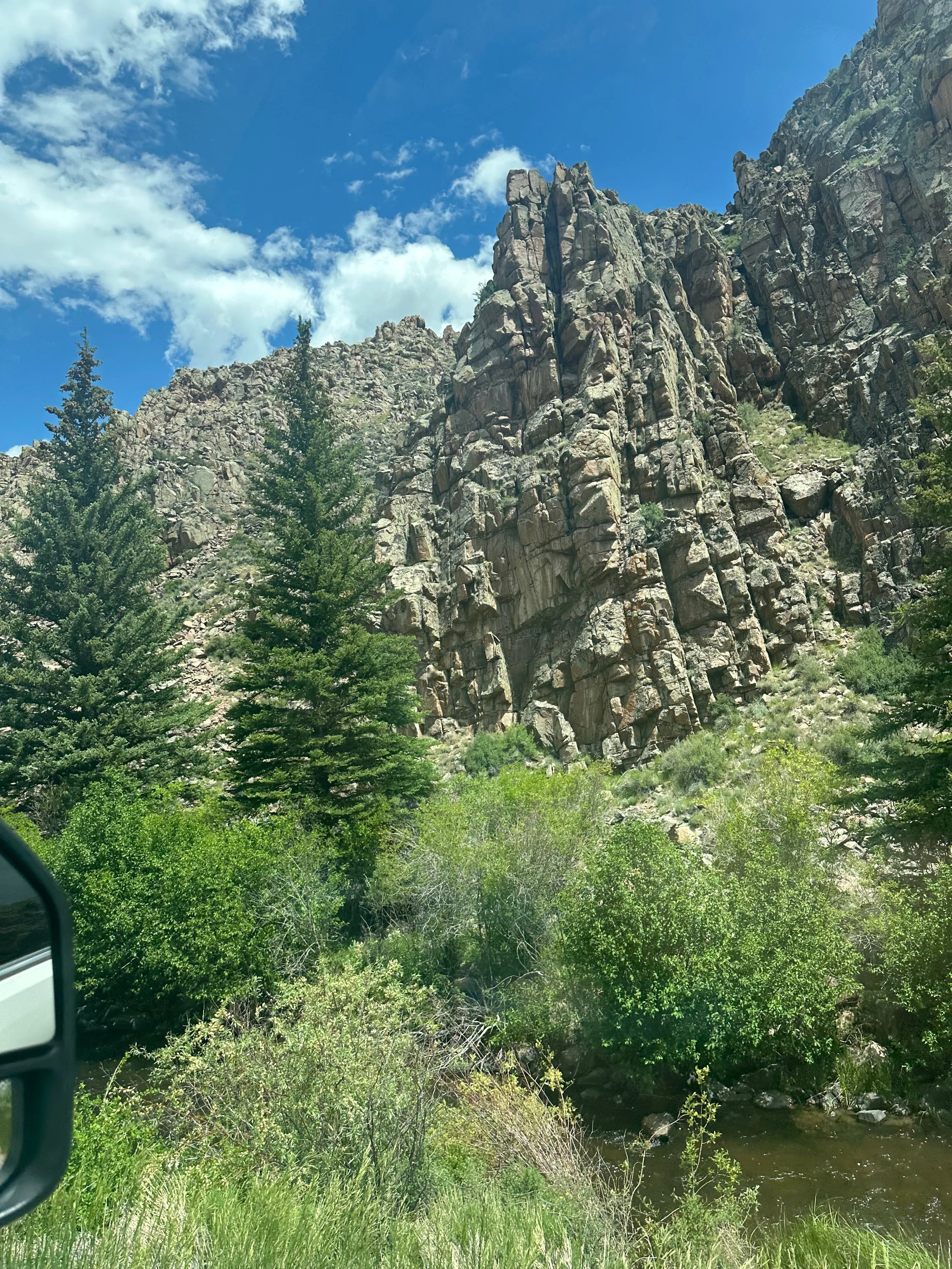
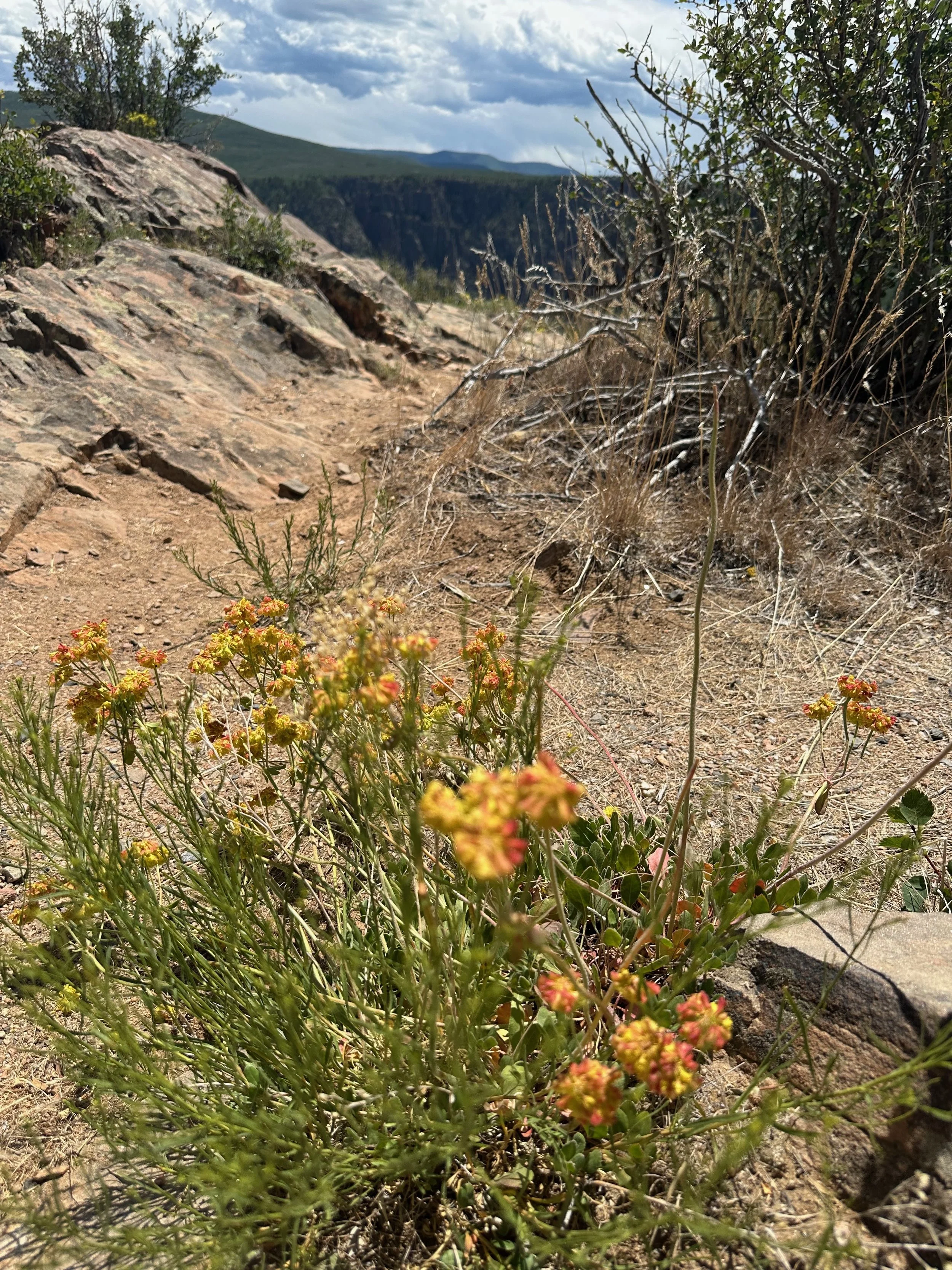
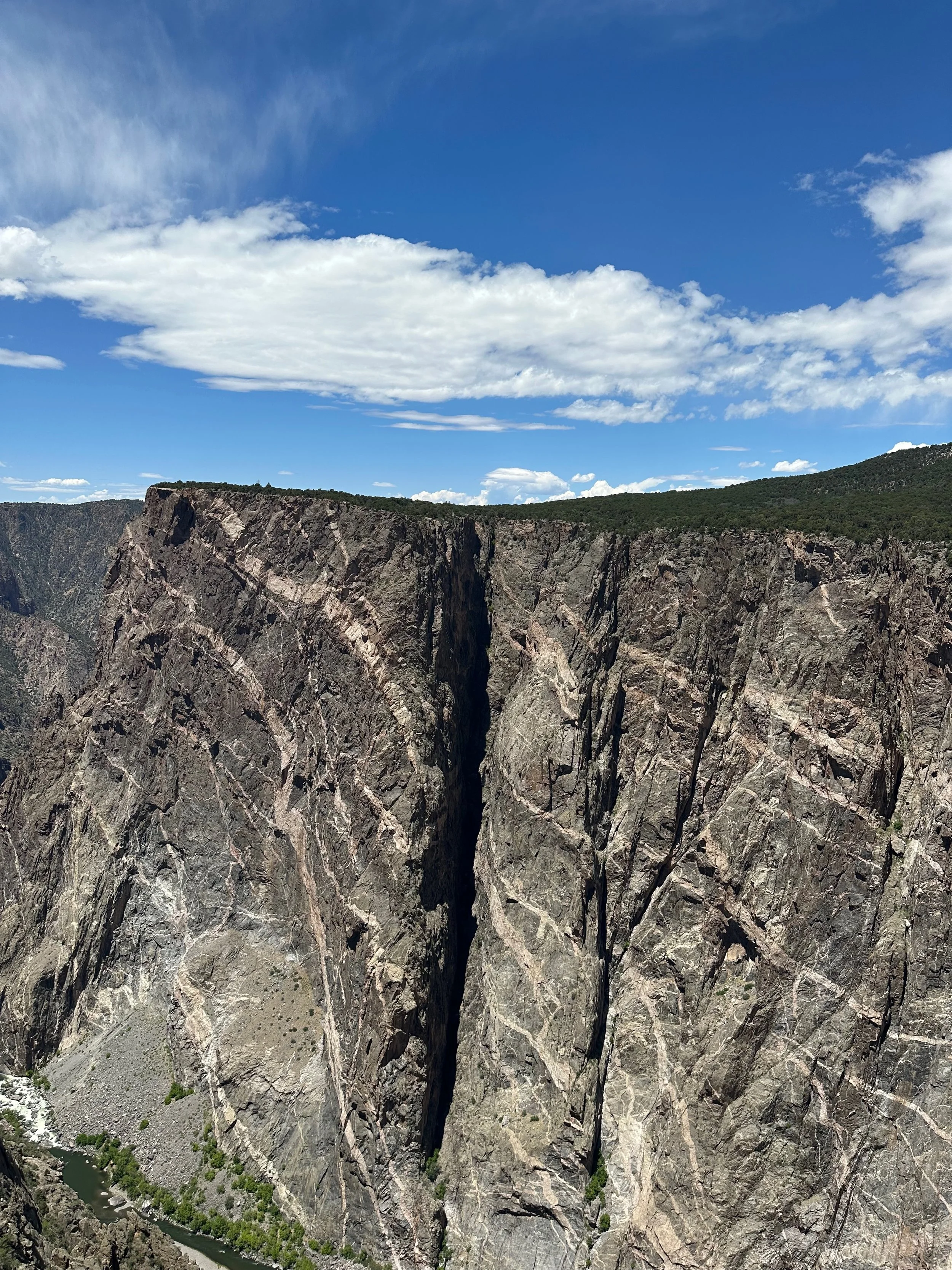
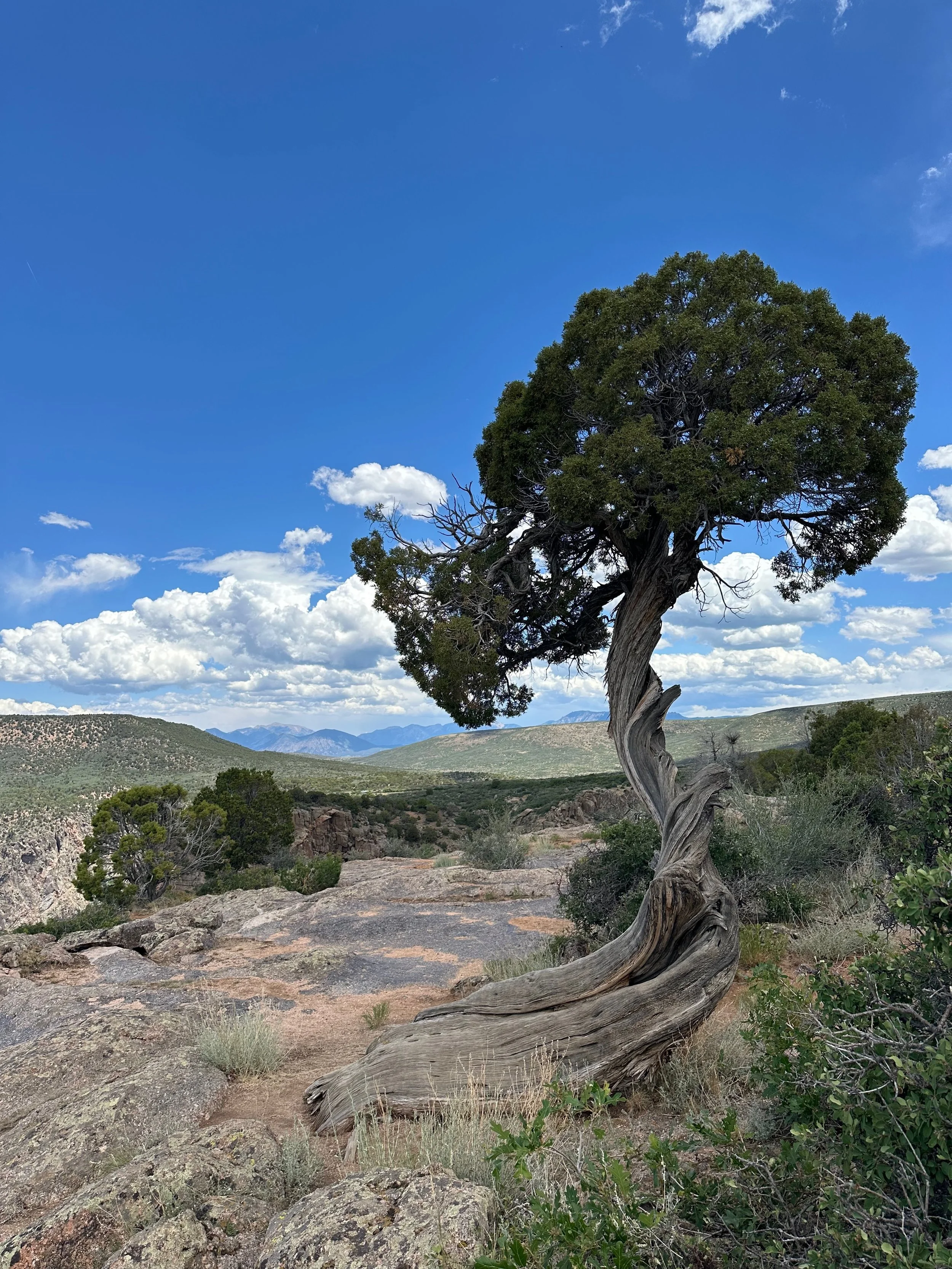
From Rte 50, you have to climb to the top of the ridge to enter the park. We only visited the South Rim, which has a Visitor Center and incredible overlooks. The canyon has interesting geology. The walls are primarily composed of metamorphic rocks, including schist and gneiss, but the intrusion of pegmatite creates lines on the walls, visible from the Painted Wall overlook. The canyon is about 2,250 feet deep and only 40 feet wide at its narrowest point. The Gunnison River flows very quickly through the canyon, contributing to its formation. The north walls are very steep because any snow deposits melt quickly, whereas the southern walls experience more erosion. As Mr. Spock would say, "Fascinating"!
Of course, once we returned to town, we had to visit High Alpine for another pizza.
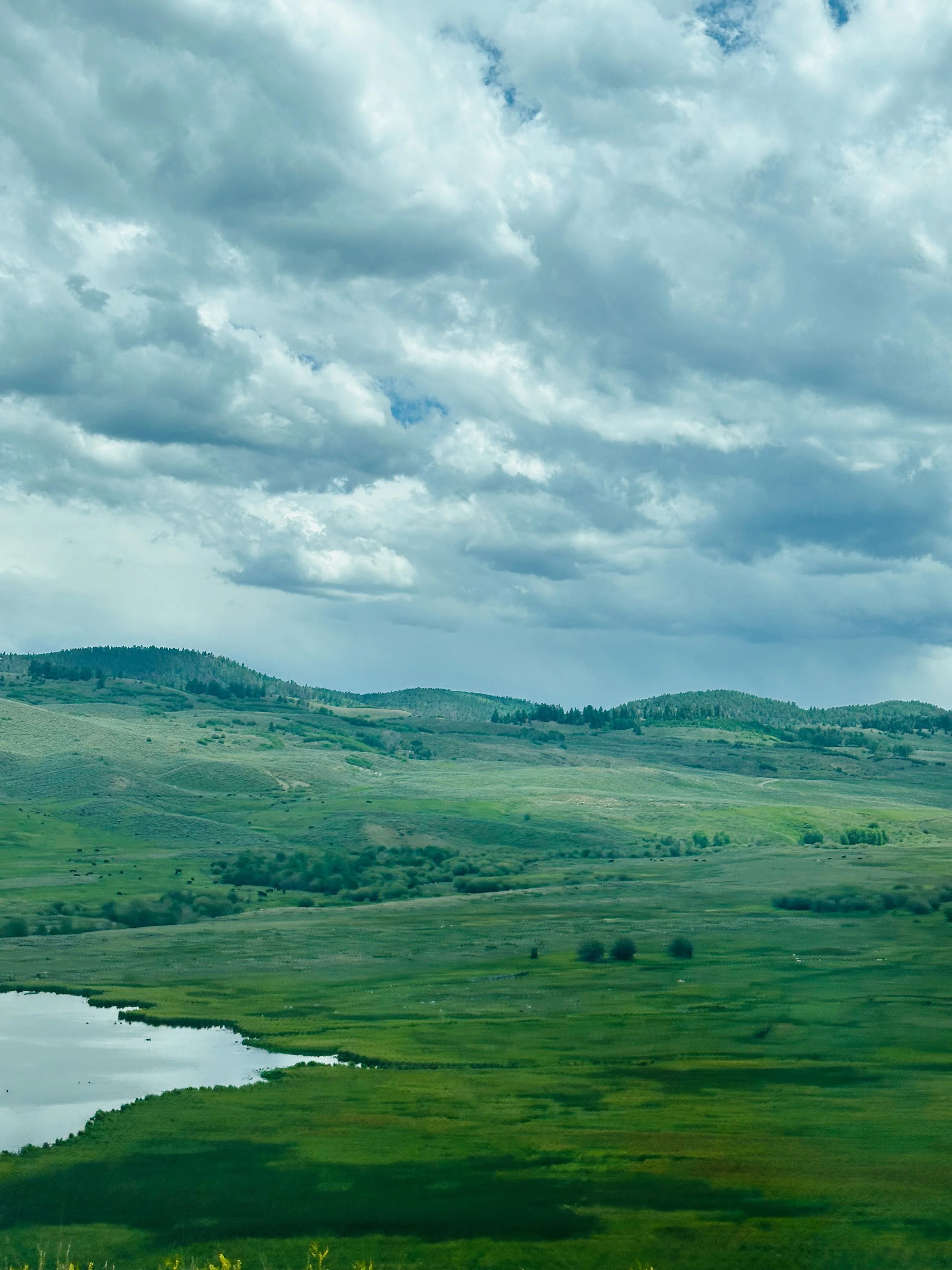
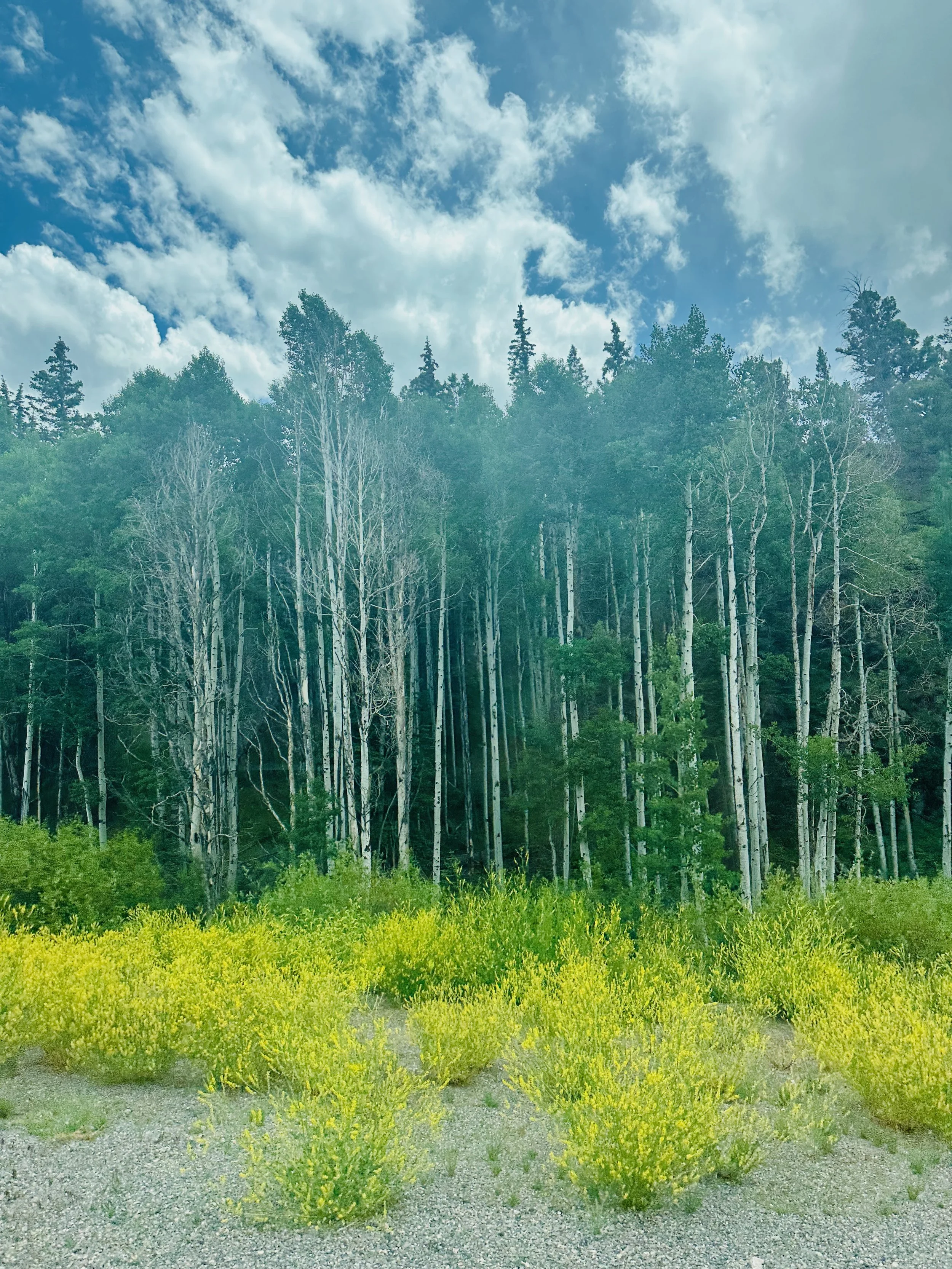
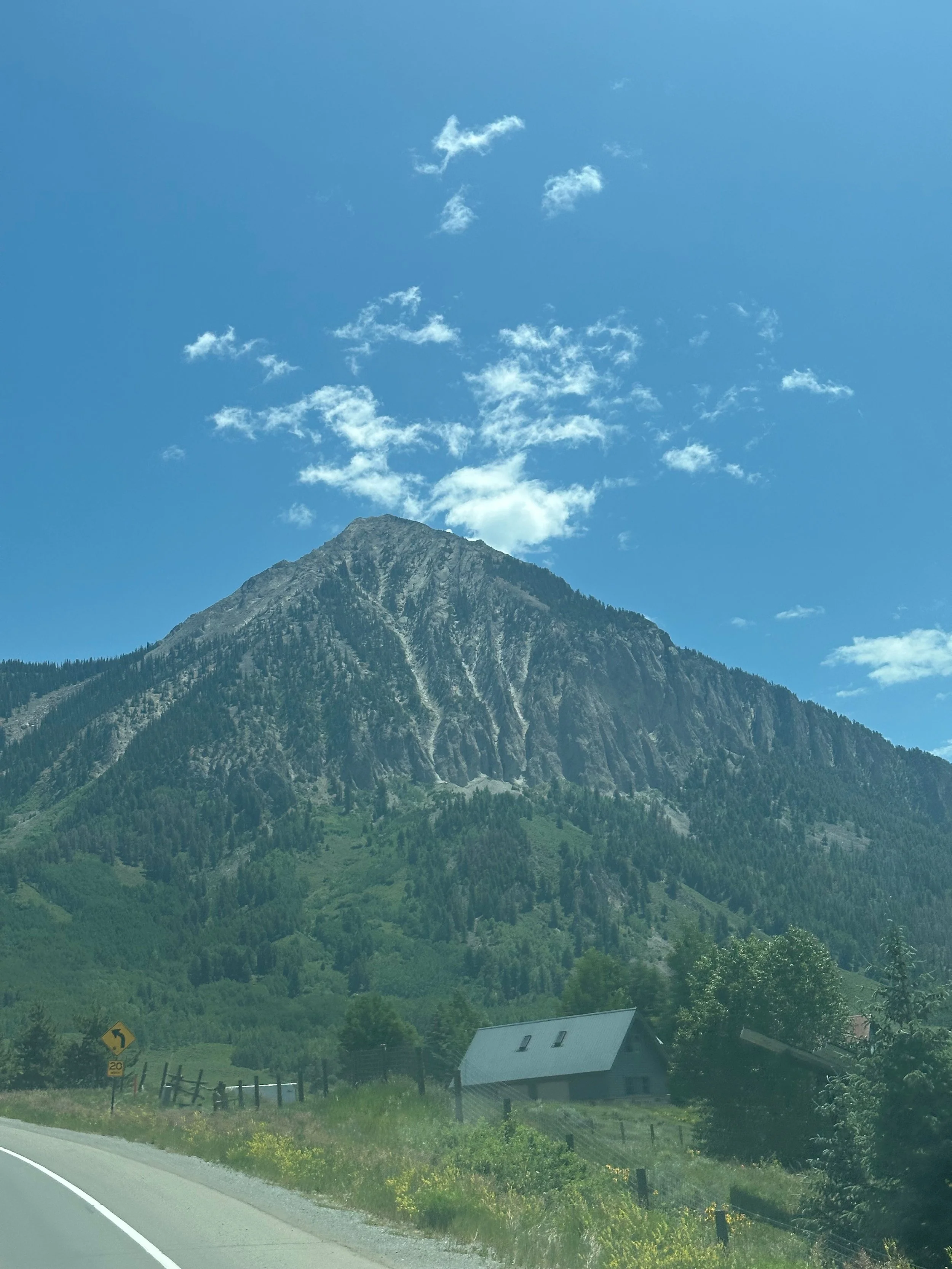
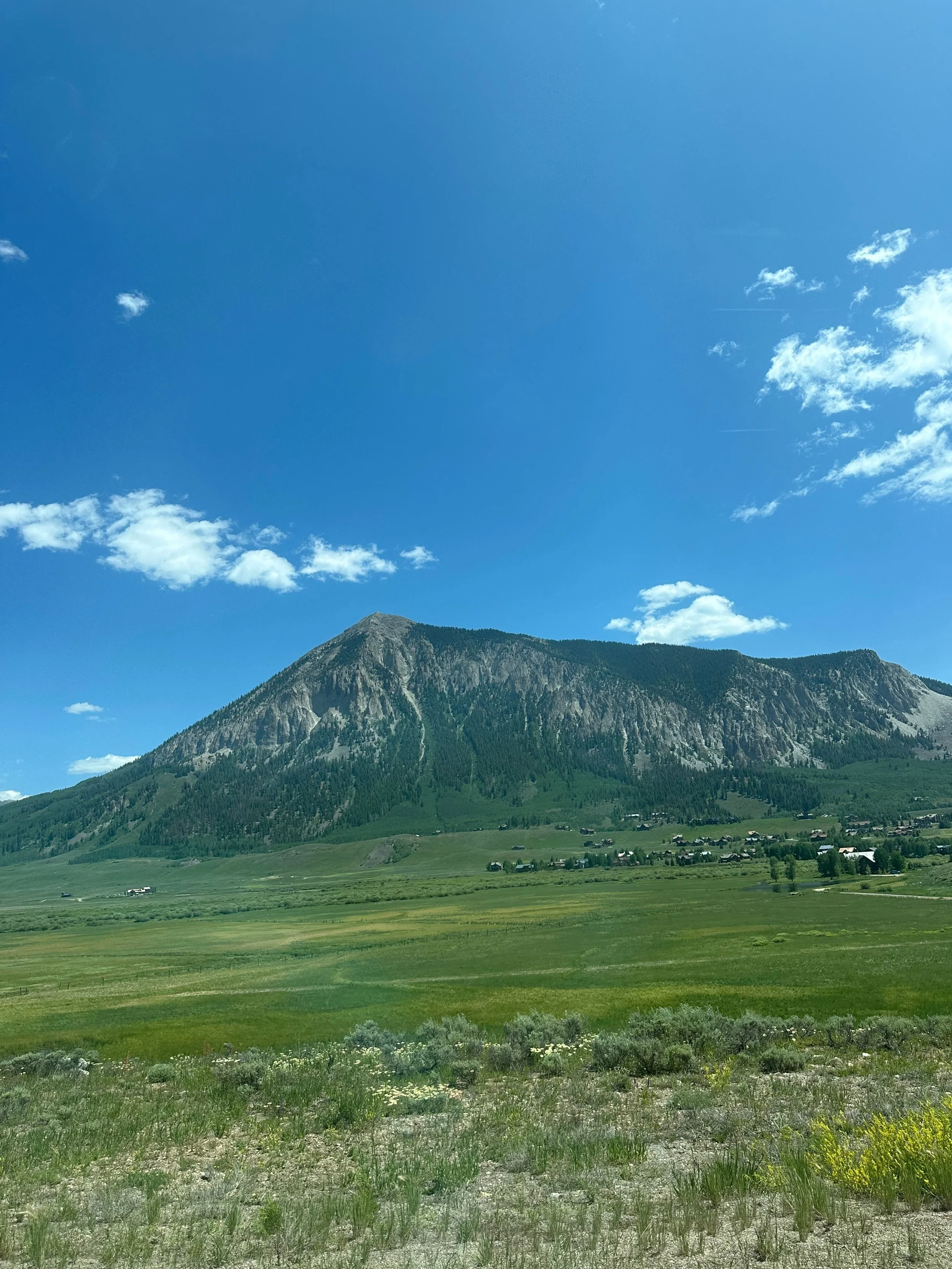
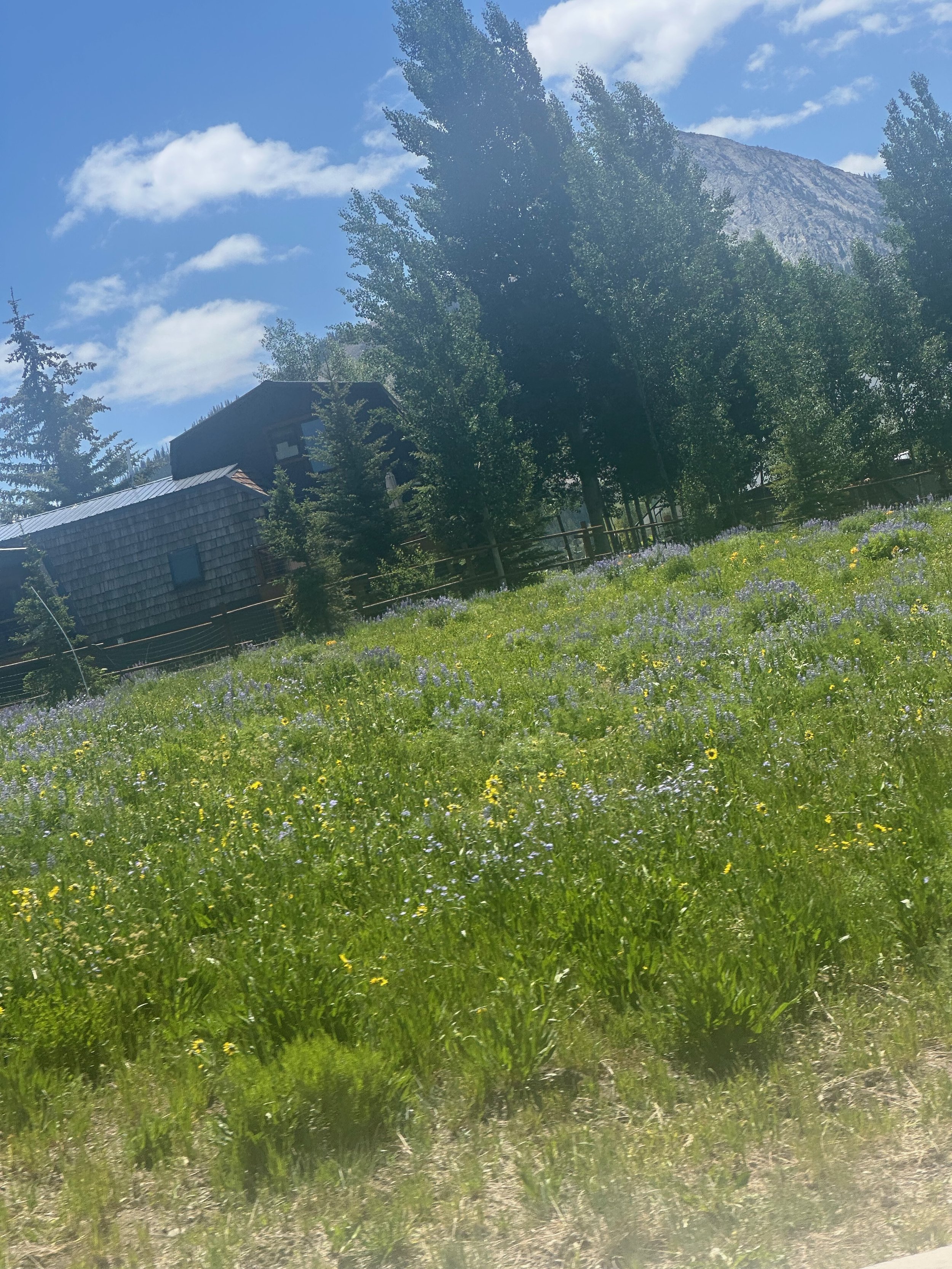
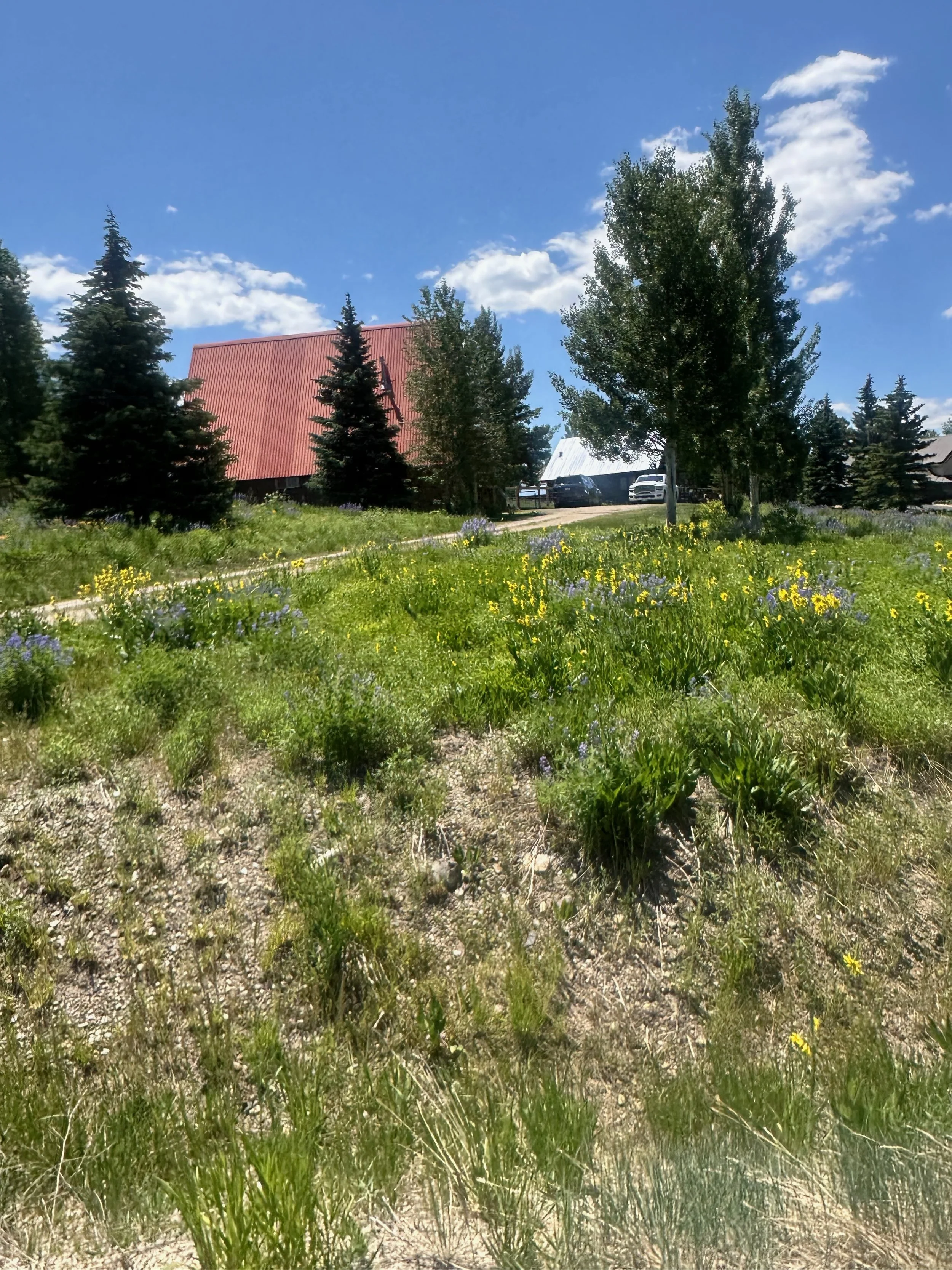
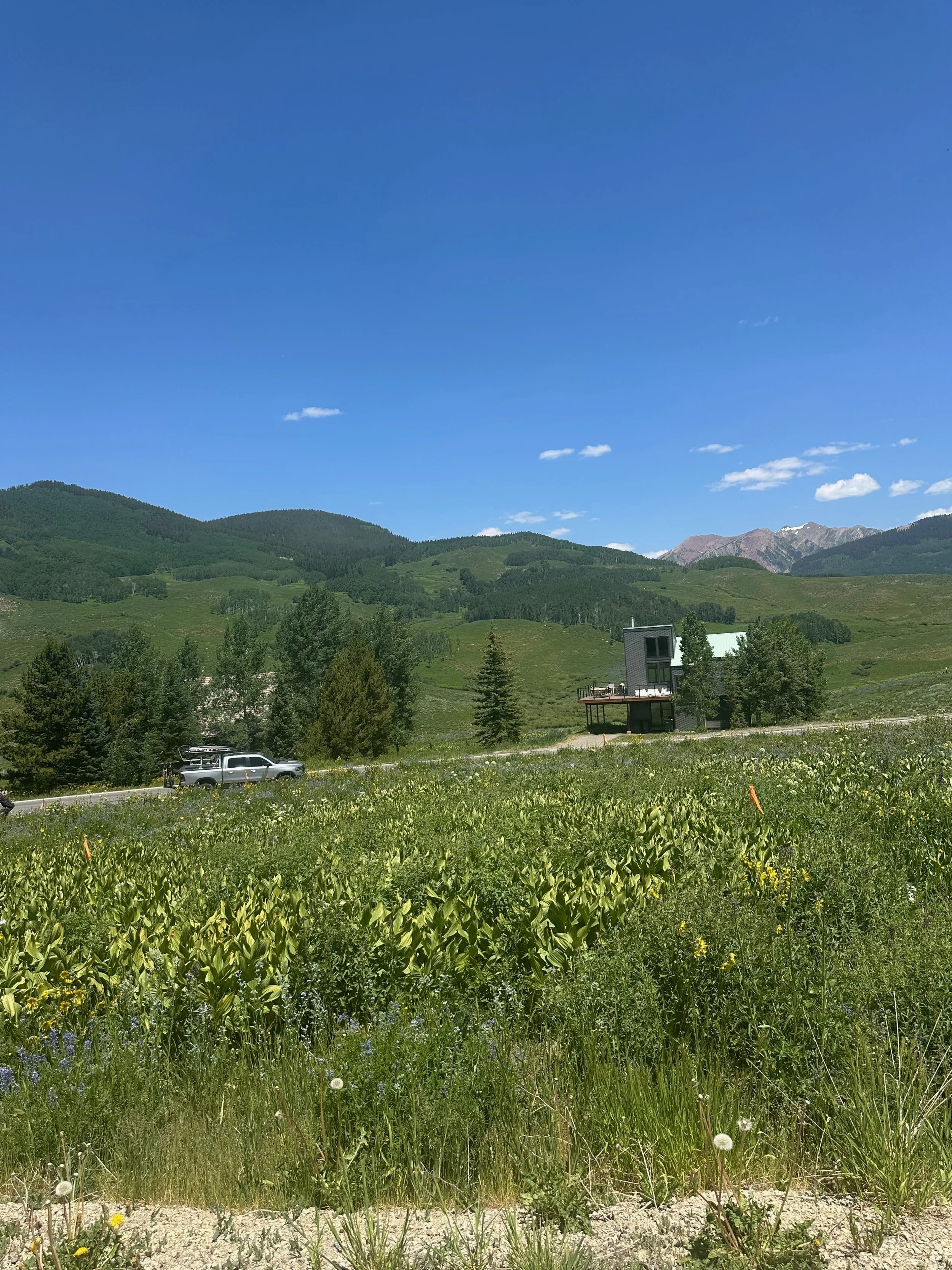
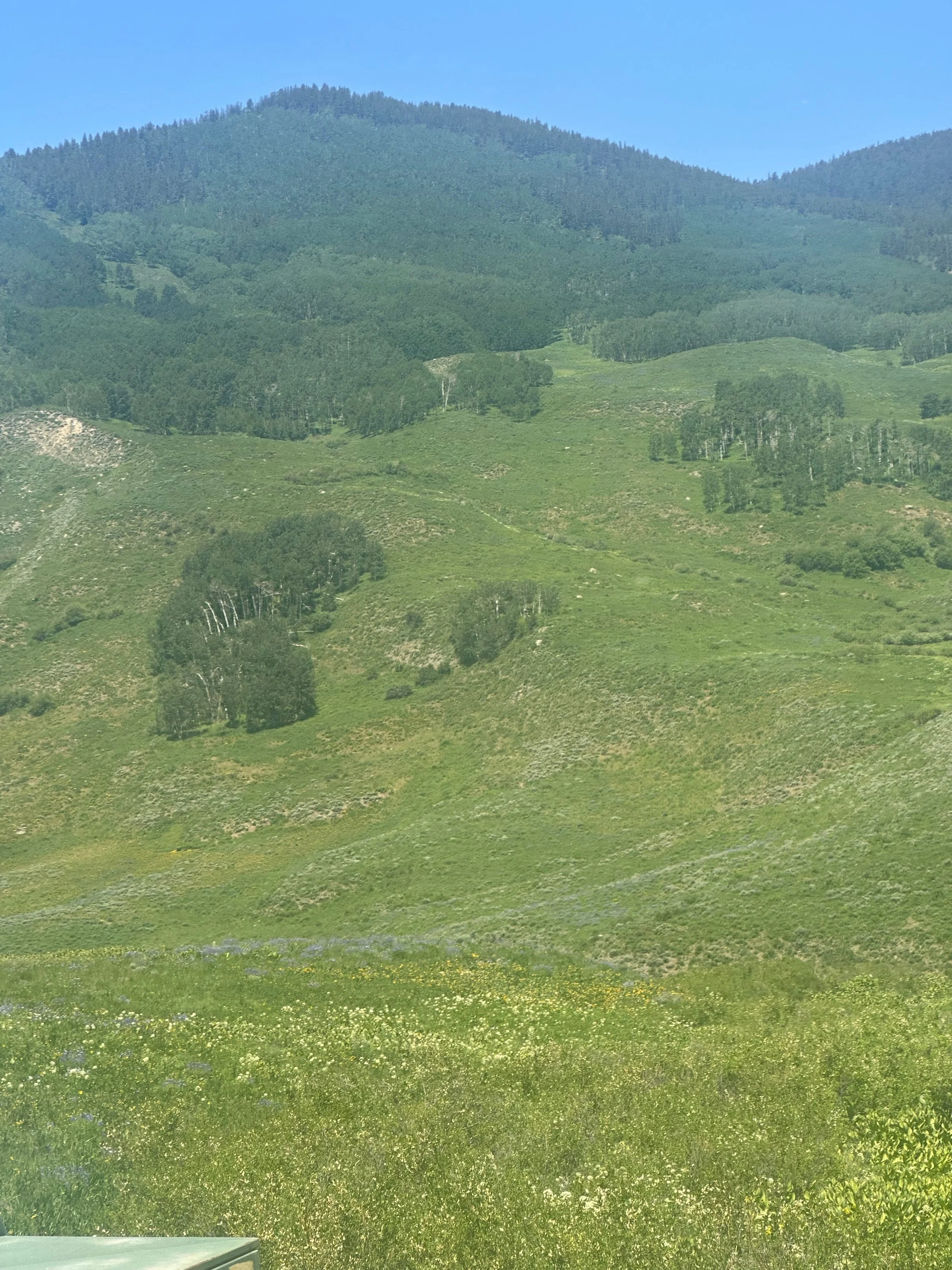
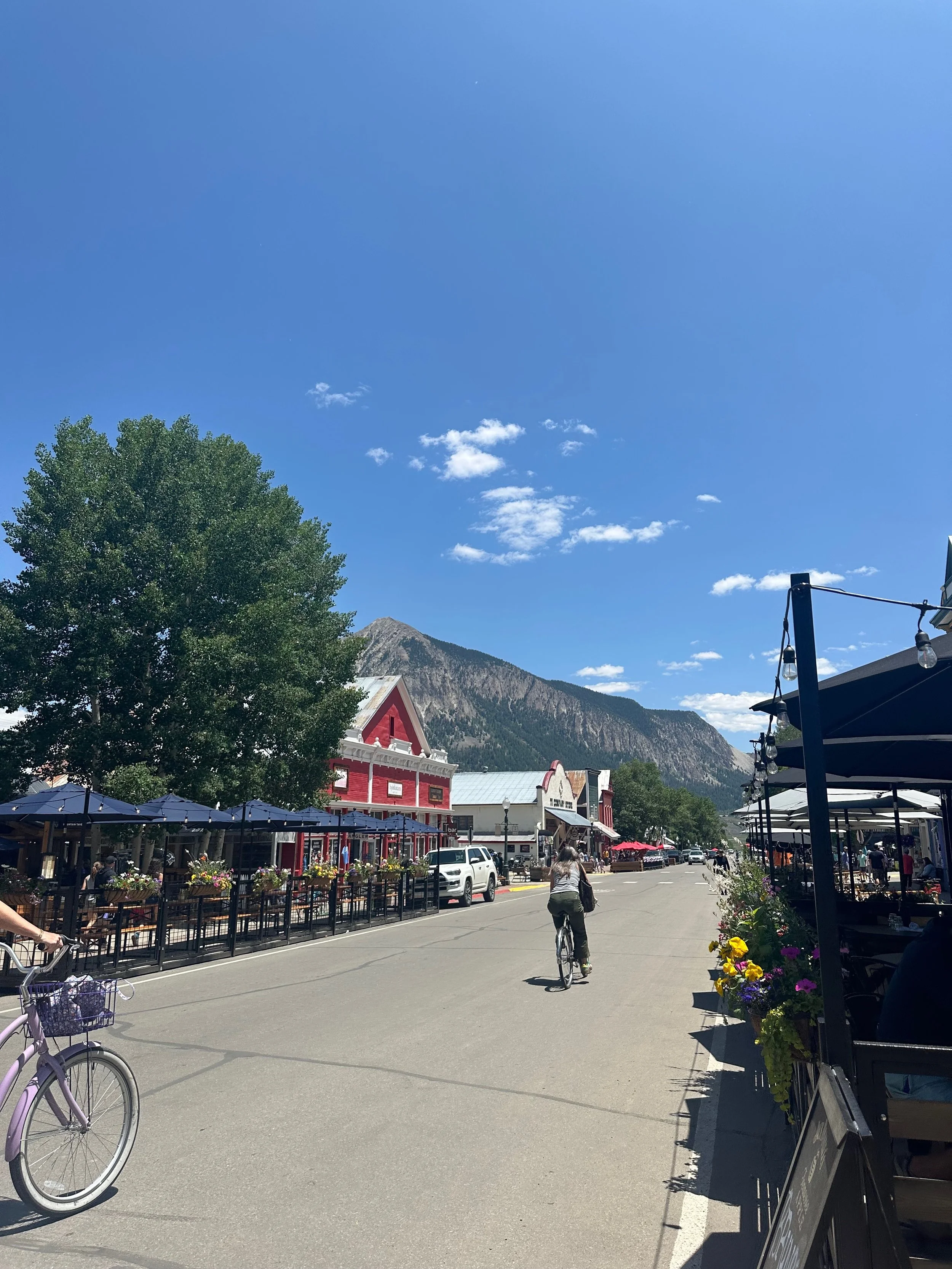
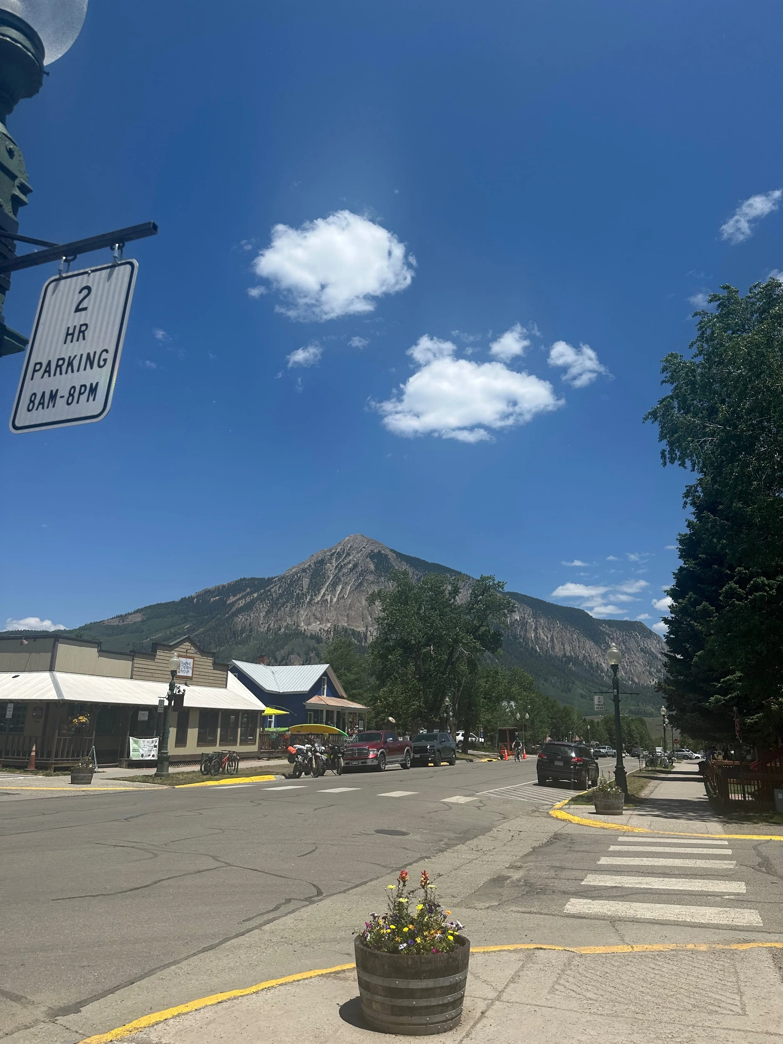
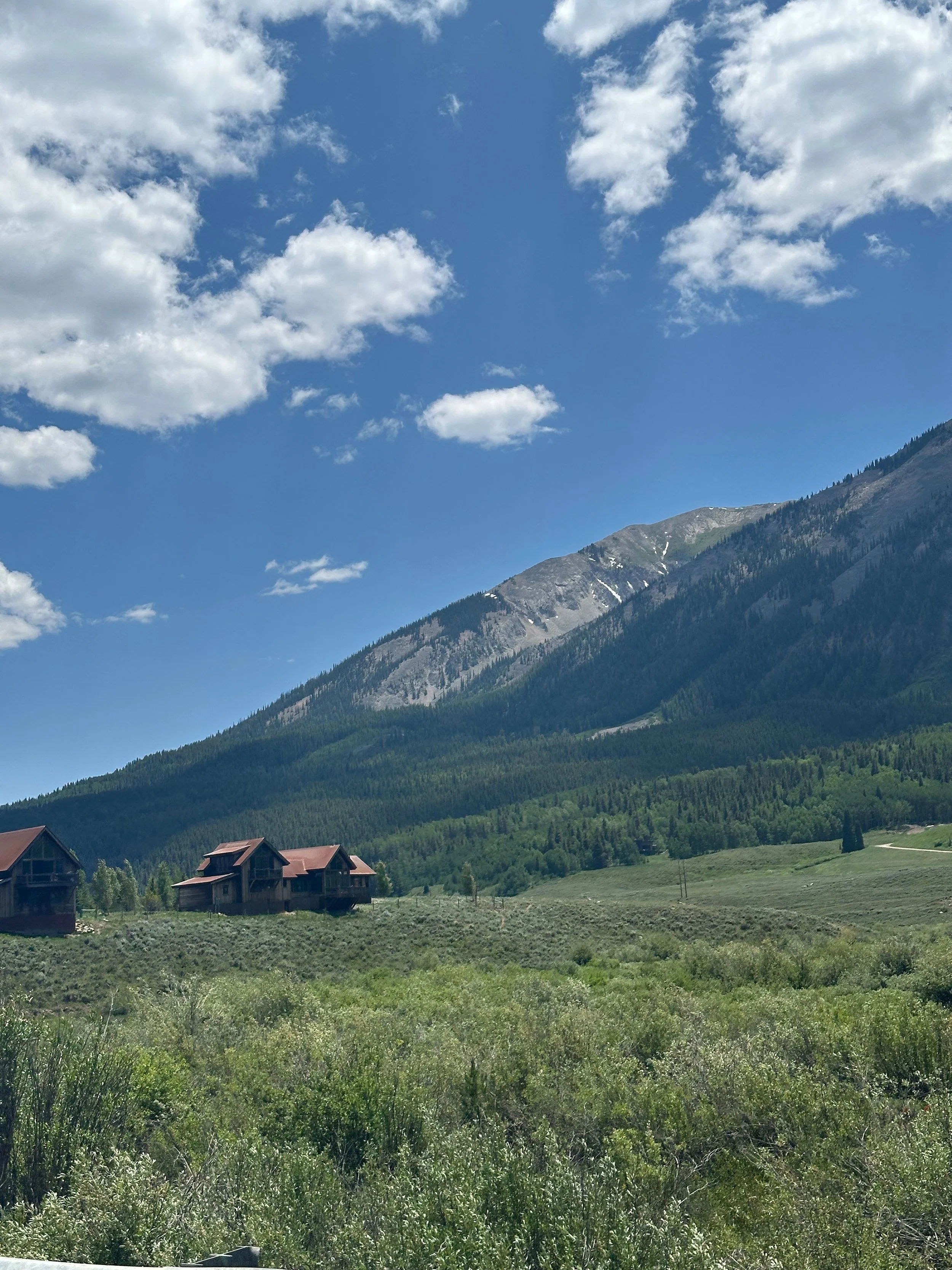
Crested Butte was another town just north of Gunnison we wanted to visit. The ski area has a reputation for some of the most challenging ski runs despite its relatively small size. It is also famous for its wildflowers, and we saw many of them as we drove to town. We passed several rafting outfitters on the Gunnison River before entering the valley. The Butte itself is very prominent, rising from the flat valley floor. We learned in Chimney Rock that a mesa (table in Spanish) has a larger top than its height, and a butte has a larger height than its top. This Butte has a humped ridge; it's not flat, as most buttes we have seen in Monument Valley or other places in the southwest.
We drove around, looking for the ski area. Our friend Larry skied here some years back, and I can see why he liked it. The north slope has many black diamond trails and is pretty challenging. The gentleman in the Visitor Center called it "Skiers Mountain"; no fuss, just runs.
The town features many paved bike paths and numerous elevation changes. Crested Butte is a premier place for mountain biking, and there was an event that day. It would be hard for me to bike at almost 9,000 feet!
The area near the ski resort and mountain biking trails was filled with wildflowers; even the surrounding neighborhood had many beautiful wildflowers. It's hard to capture that in pictures.
We decided to explore the downtown on foot. There are shops, restaurants, and galleries. We grabbed brunch at McGills . The town reminded me a little bit of Frisco, CO, which is close to Breckenridge, sharing a similar vibe. We chatted with some locals; the summer season here is relatively short, lasting just two months, so the town becomes busy with tourists and locals enjoying the outdoors—a lovely place to stop for a visit
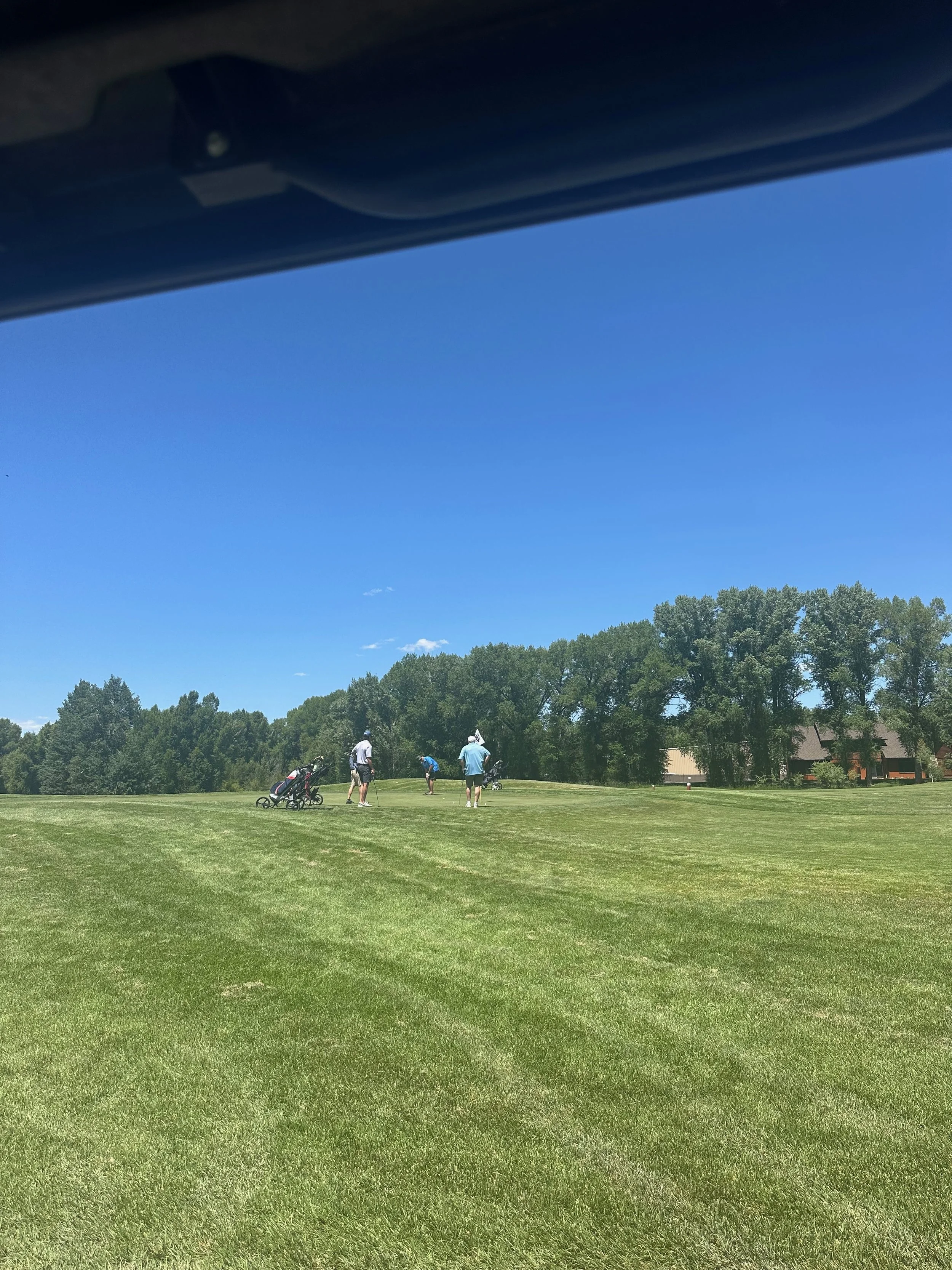
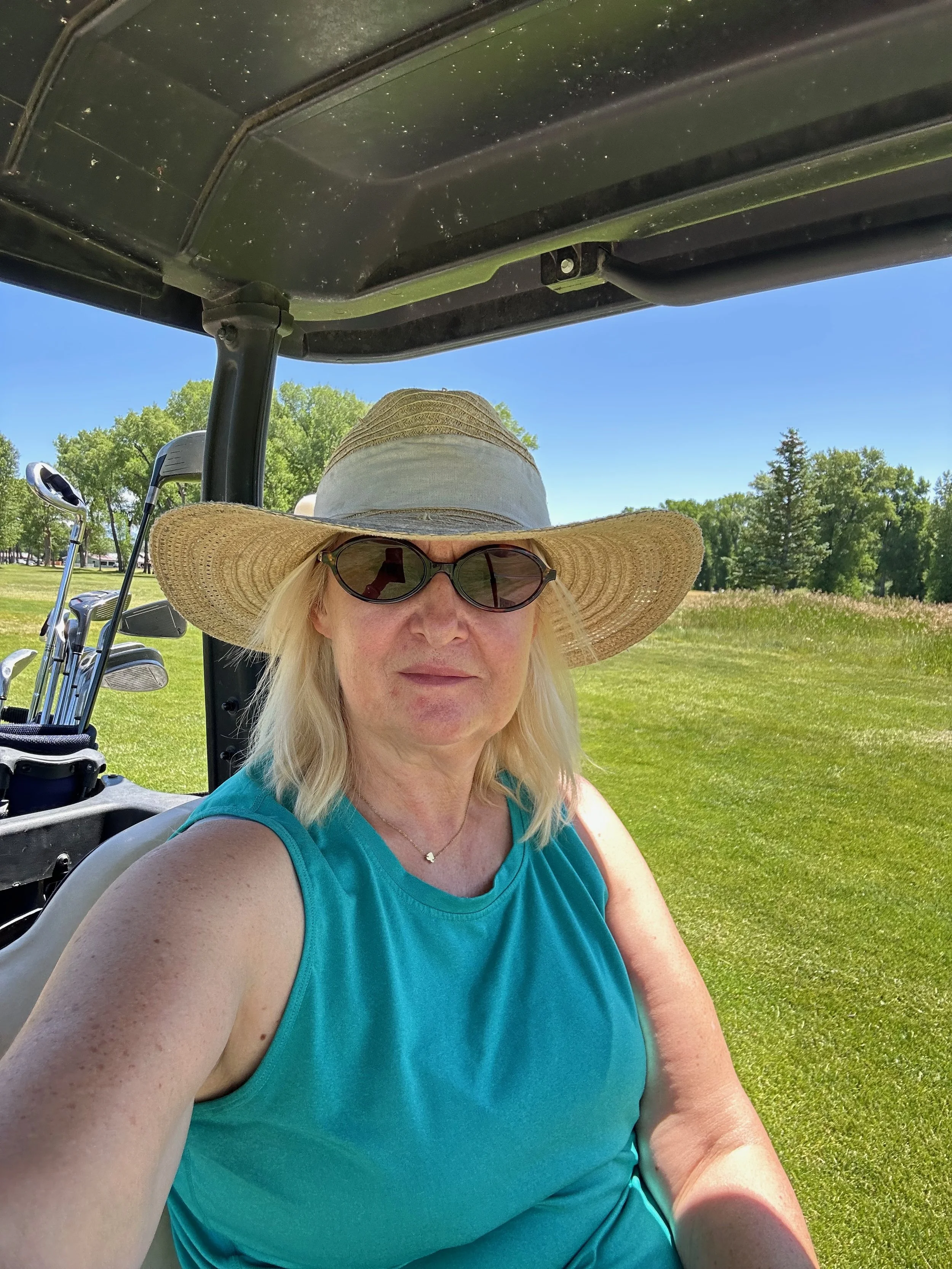
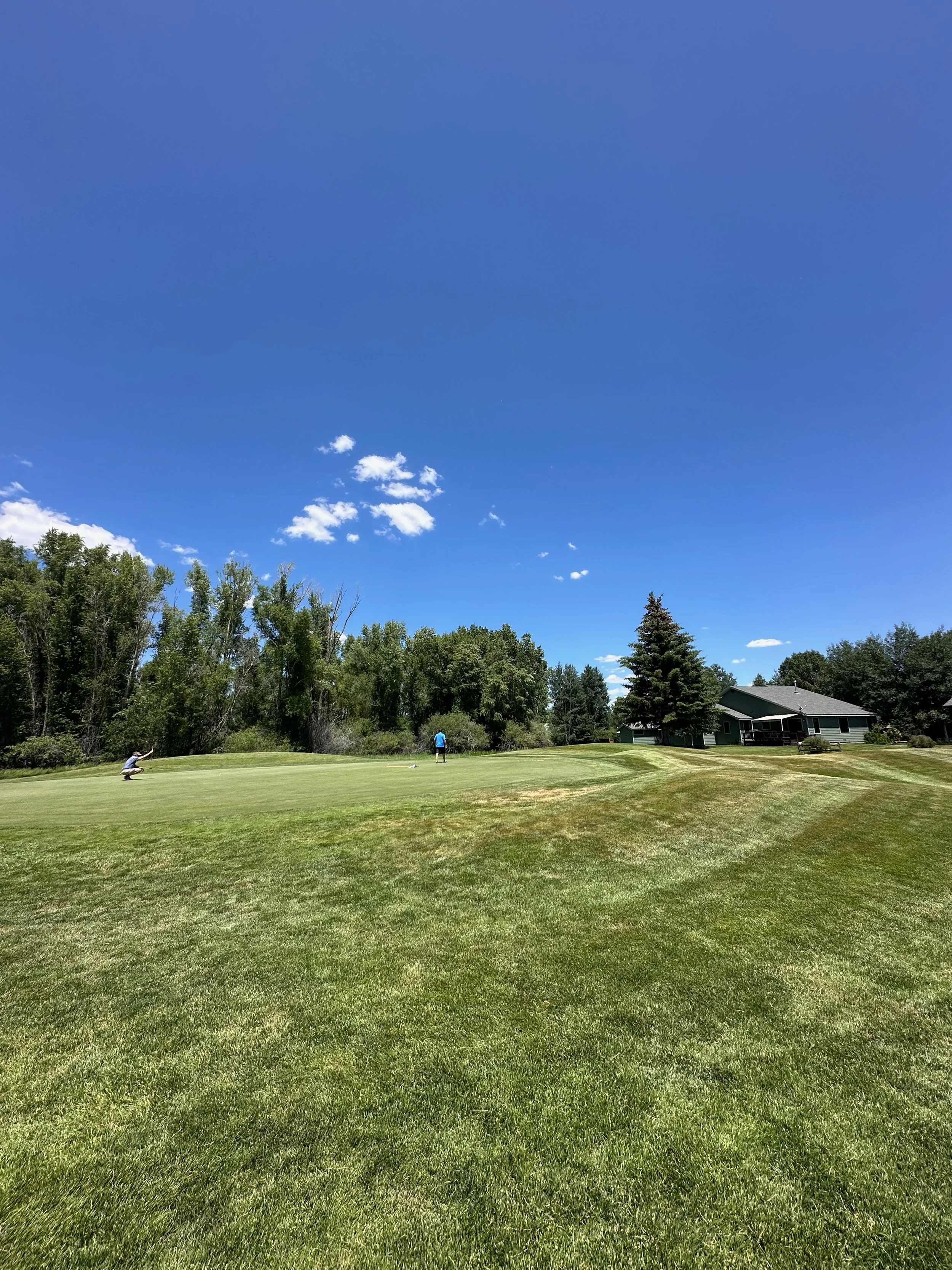
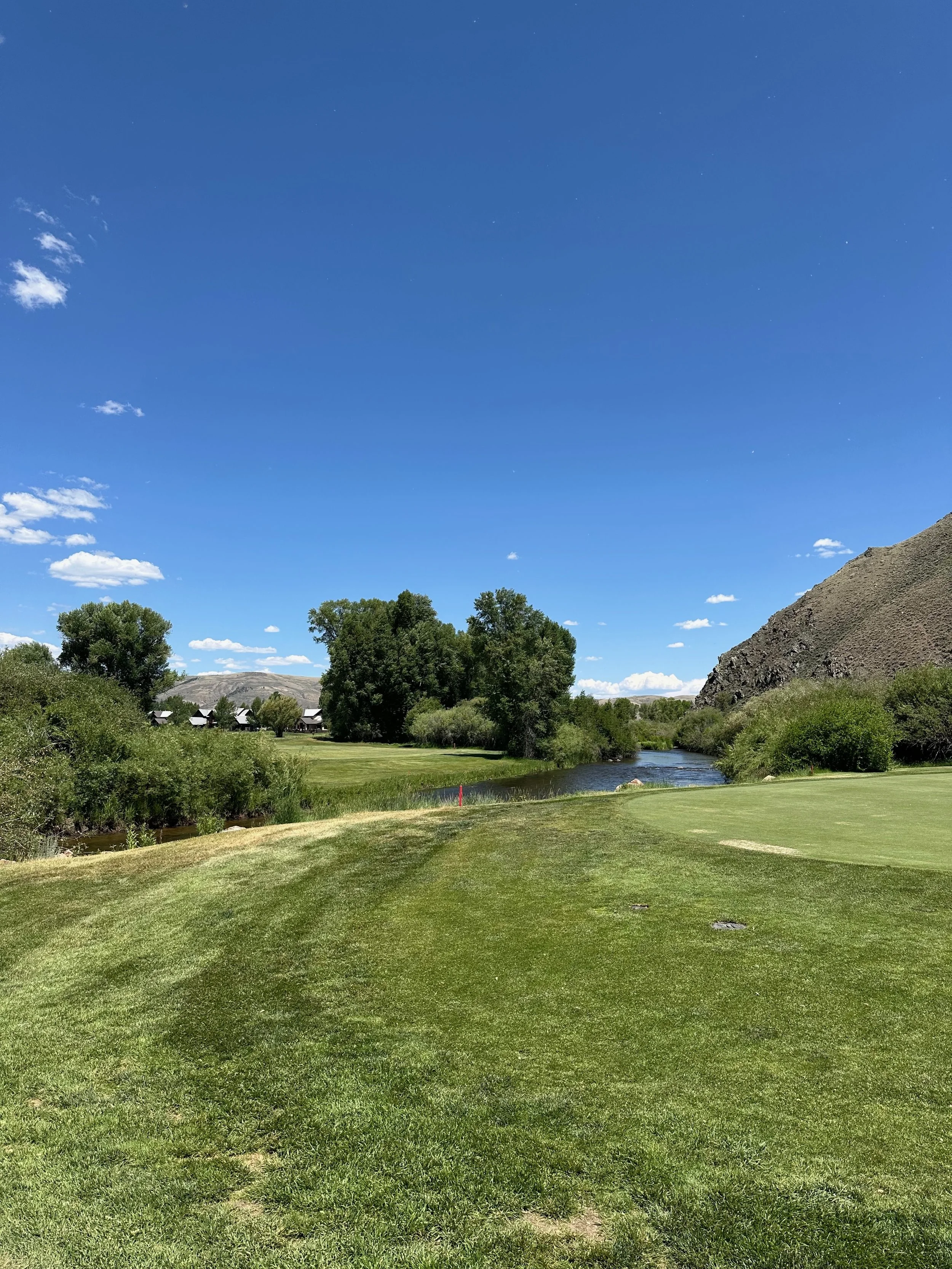
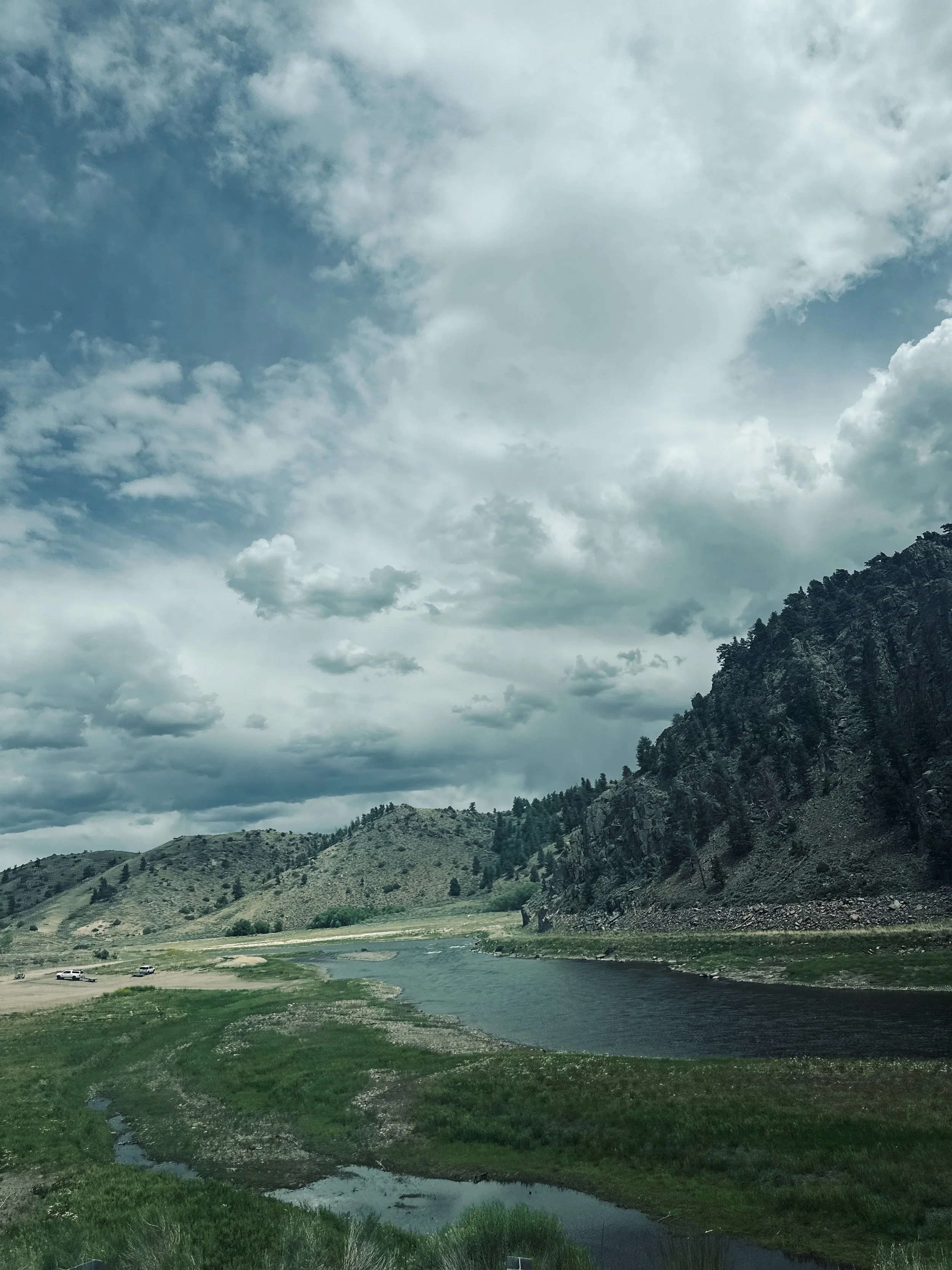
A few miles west of our campground in Gunnison is Dos Rios Golf Club, so Tom decided to play a round. I was the golf cart driver! It's a small course; the challenge came from ponds and creeks, the Gunnison River, and Tomichi Creek. We met three locals that Tom was paired with, and we had a great time with them. I enjoyed driving the golf cart.
We enjoyed relaxing in the campground; the grass surface and our evening visits from the donkey crew made it fun. But we had to pack up and go; Buena Vista was our next stop.